Rundslinga Borensberg, Östgötaleden
Rundslinga
- Województwo: Östergötlands län
- 6647.74 km od Ciebie
Szczegóły dotyczące szlaku
- Długość 10.4 km
- Trudność Niebieski - średni
Akcje
Opis
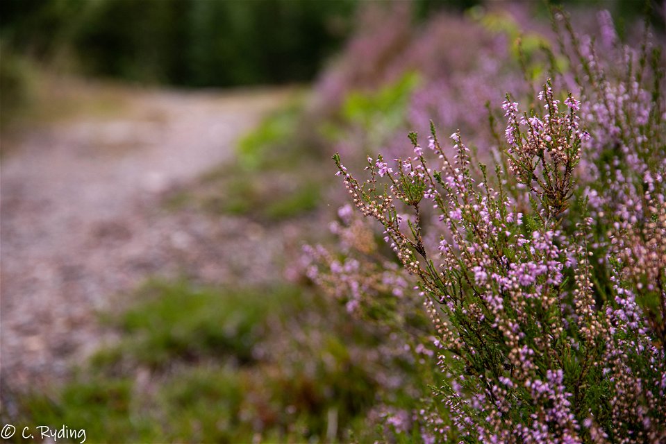
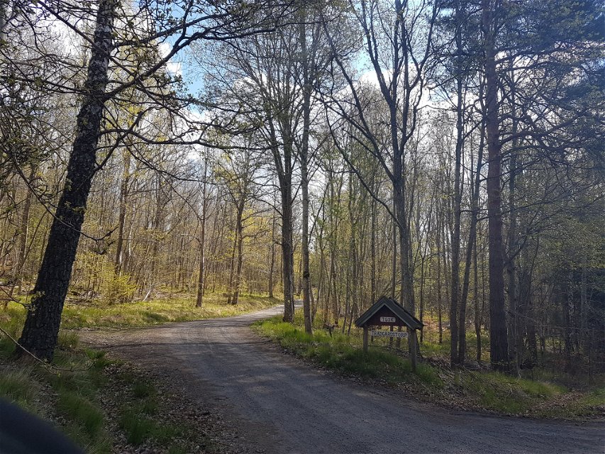
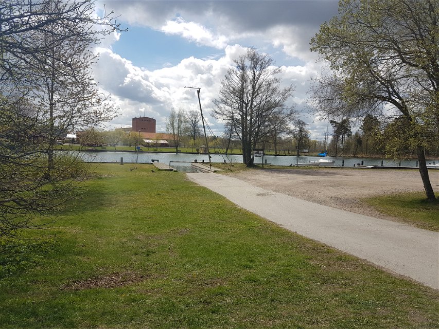
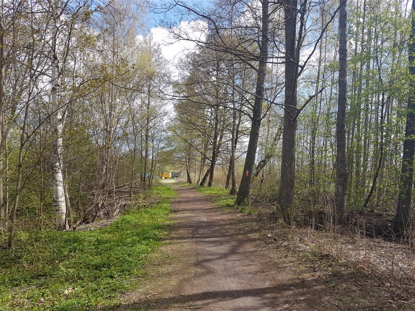
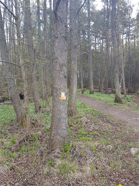
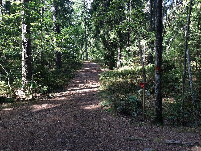
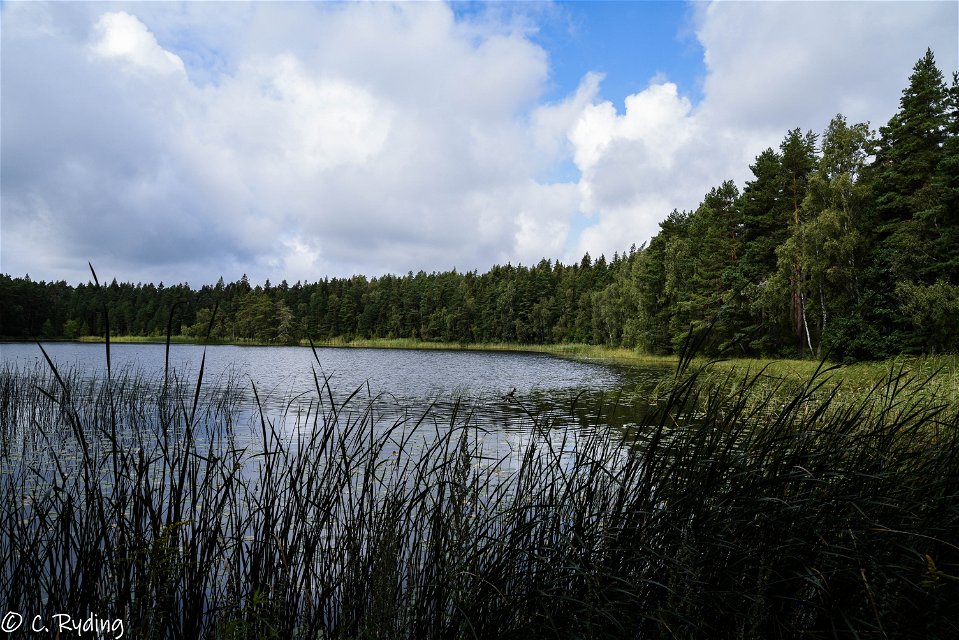
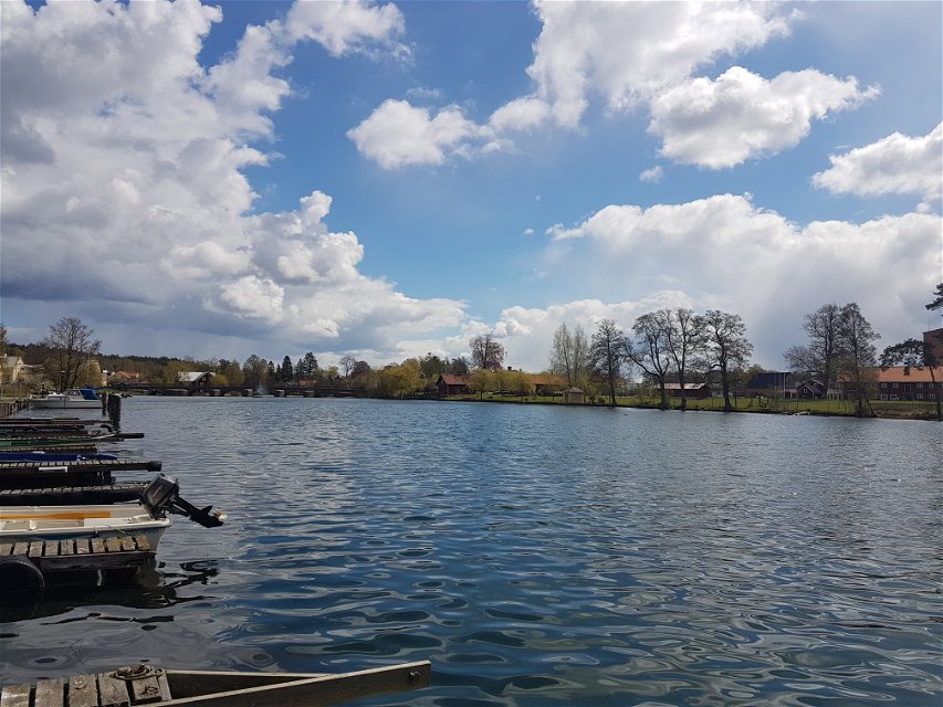
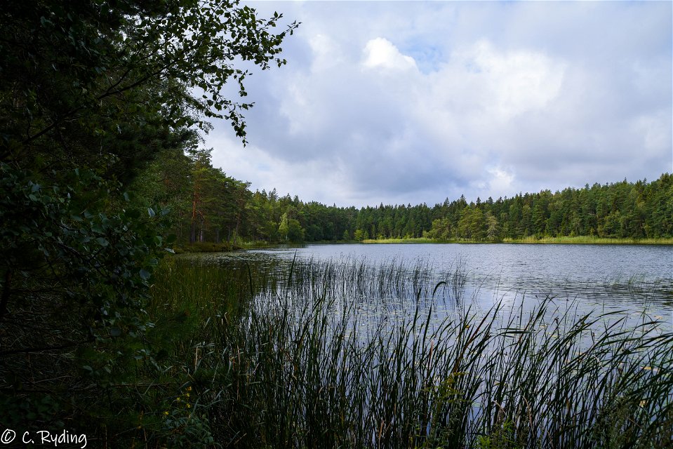
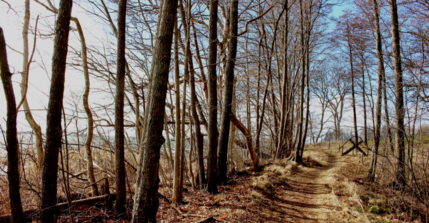
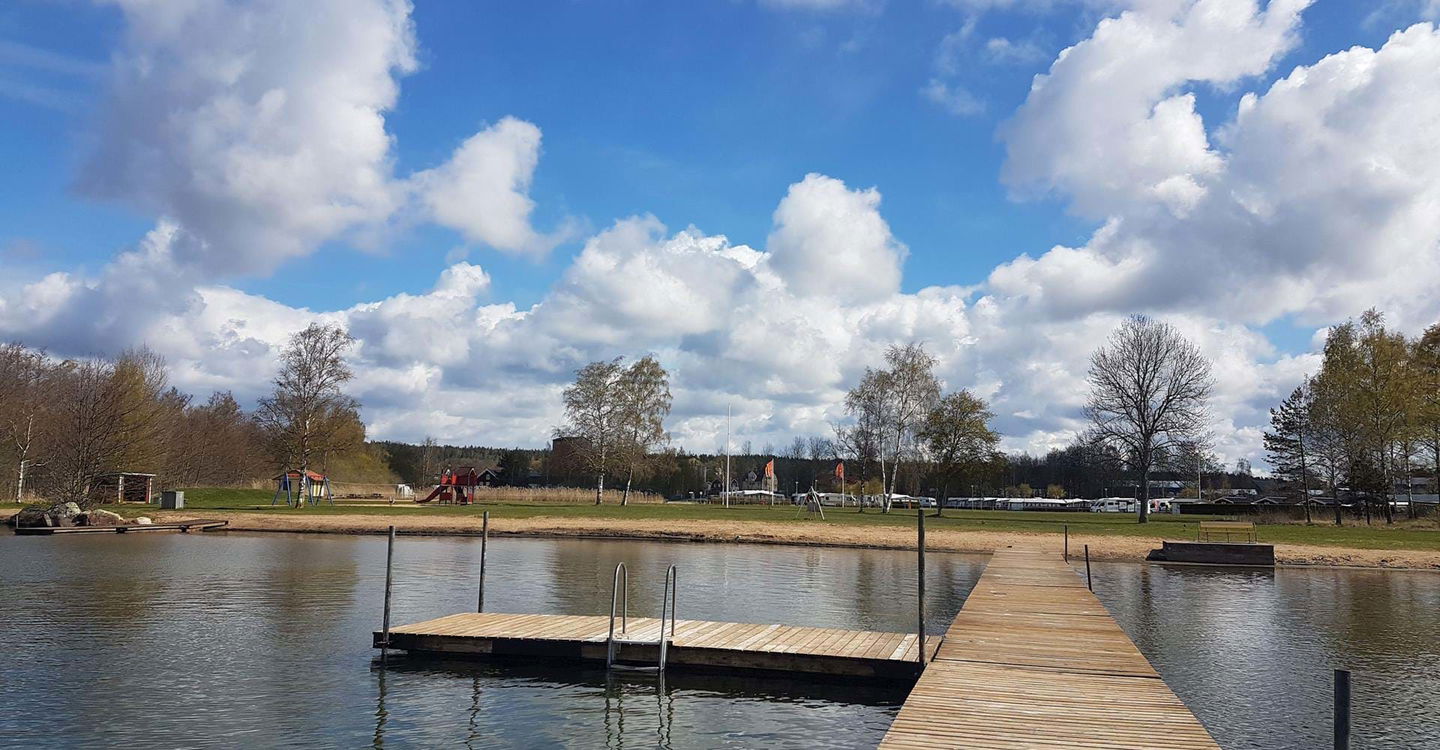
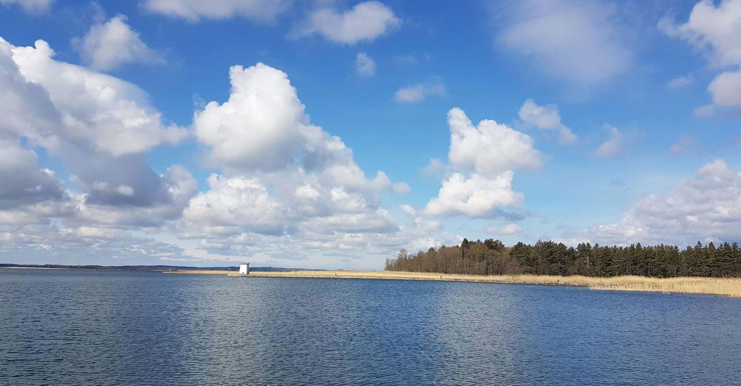
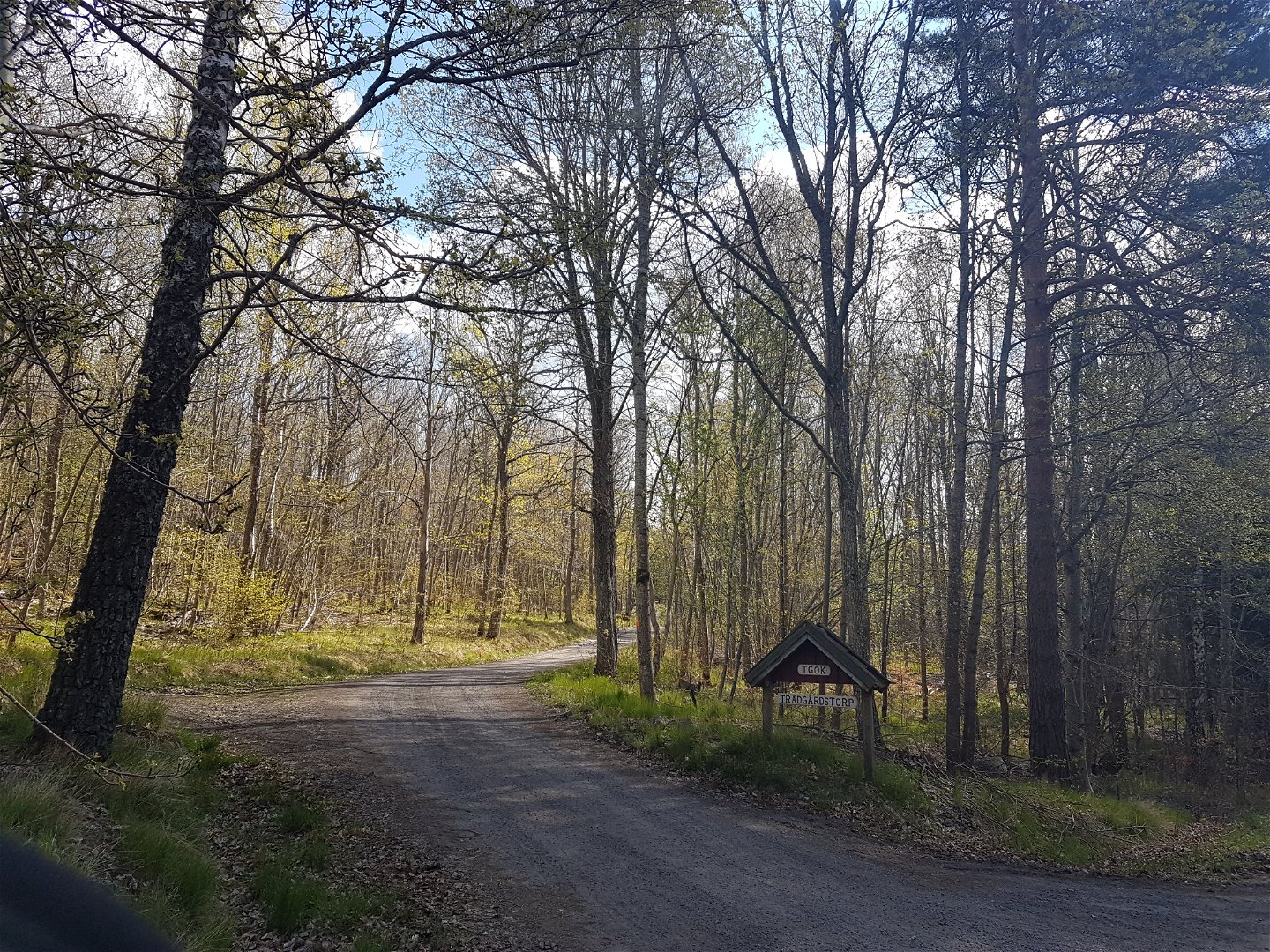
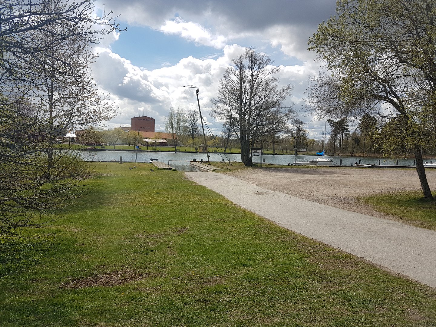
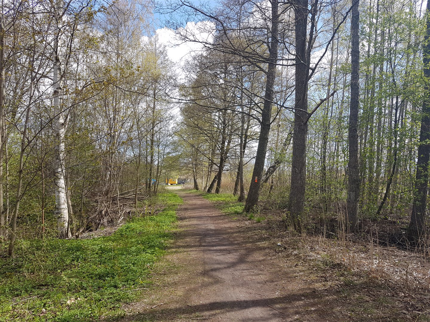
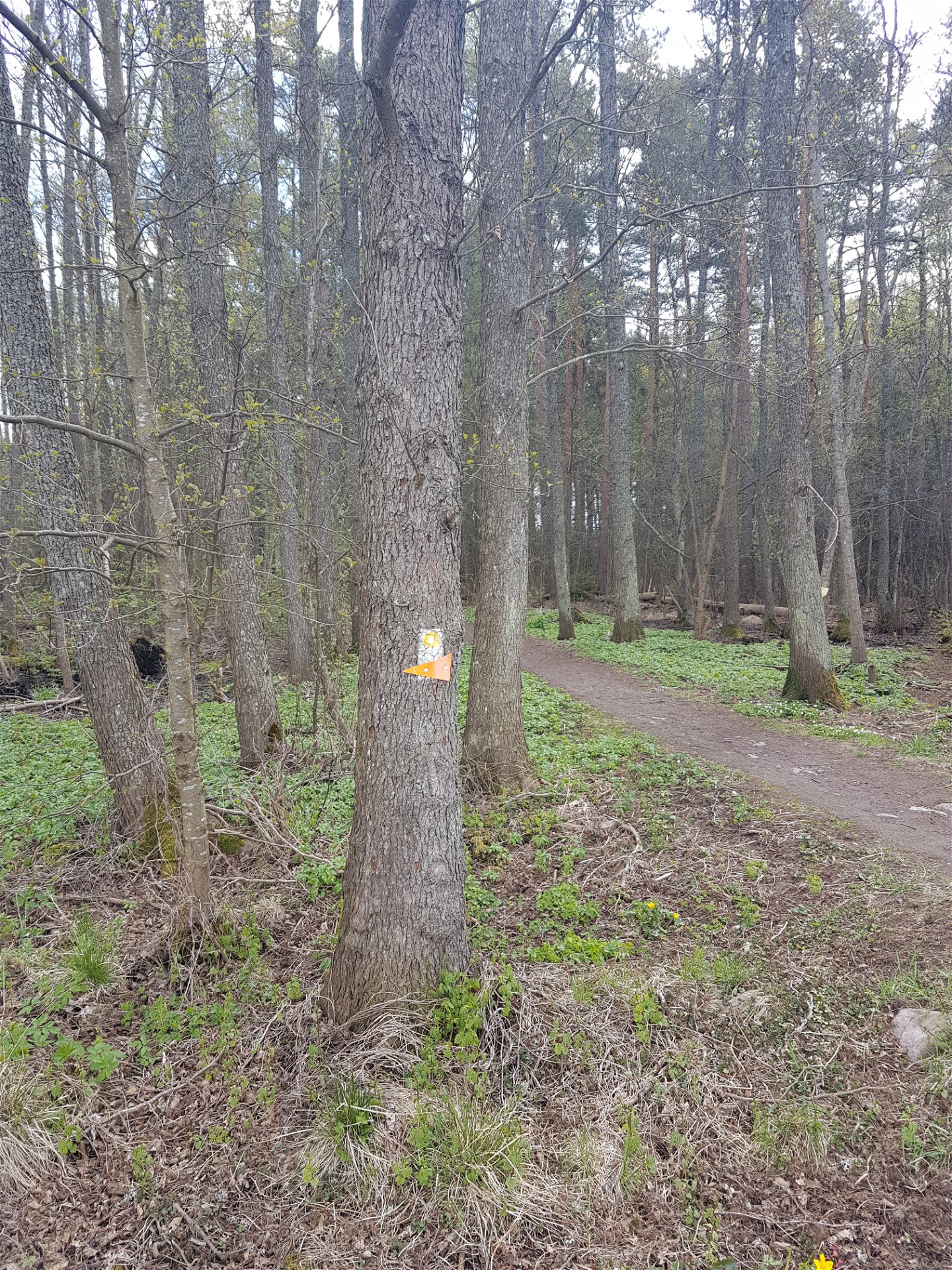
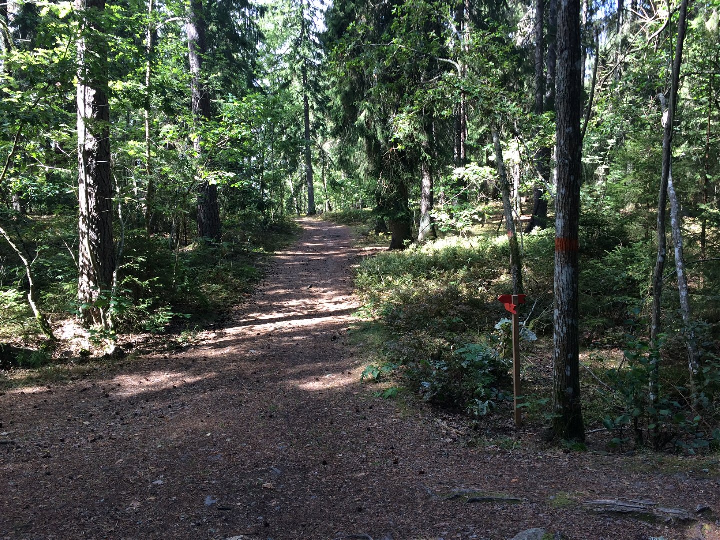
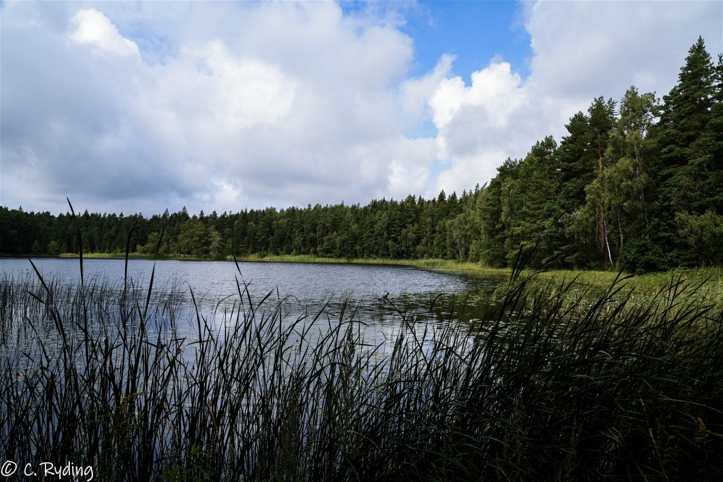
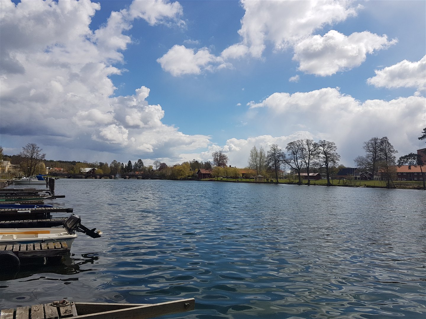
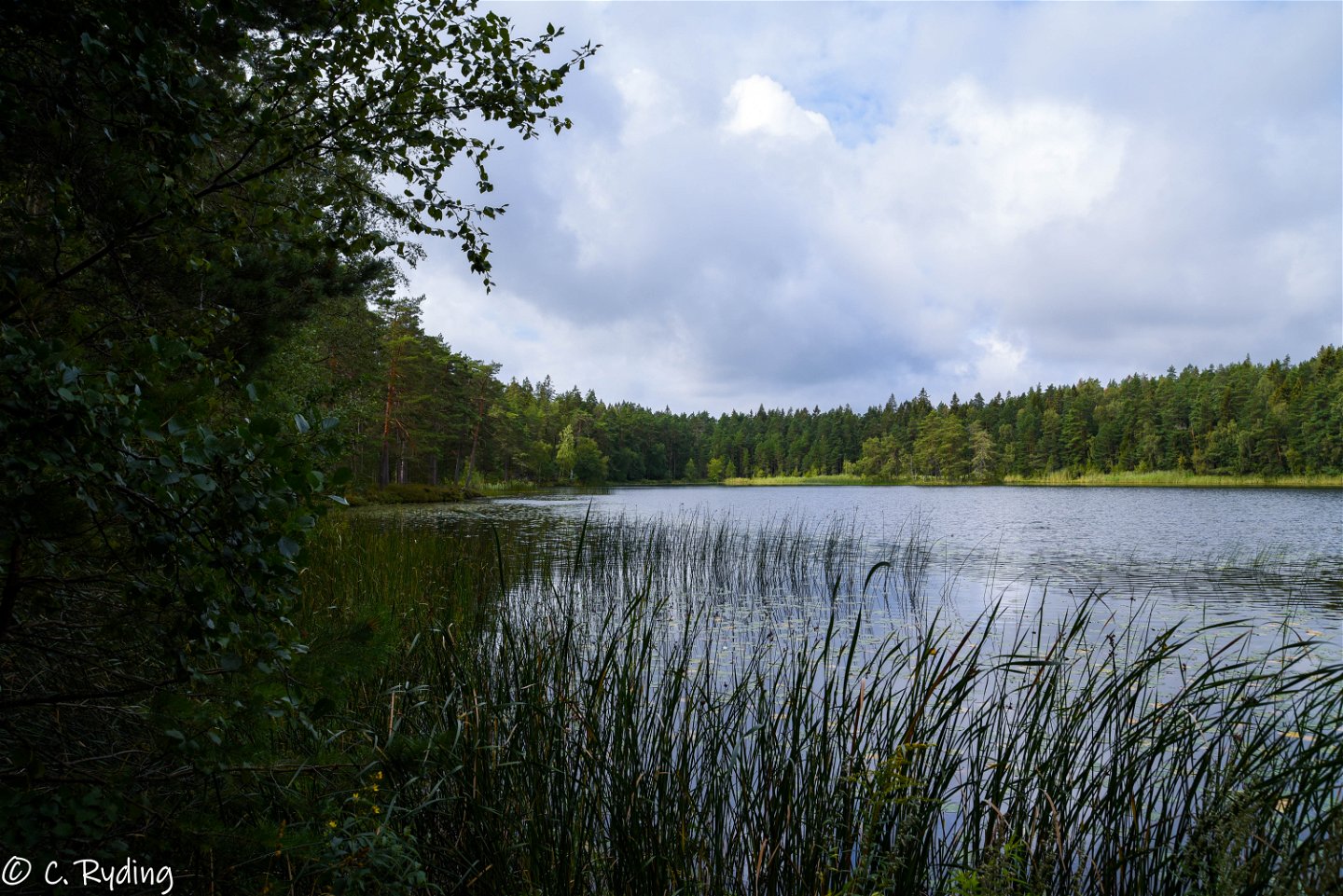
In Borensberg you will find a 10.7 km long trail. The loop extends almost around the entire Borensberg on the north side of the Motala stream. The trail runs along Motala ström and Lake Boren, a beautiful section with fantastic nature. The route continues north through residential areas, until you reach the large and beautiful Bergvalla-Hällaskogen. In Bergvalla-Hällaskogen, there is a trail for running, a windbreak and a lookout point on the historic Juteberget, where on clear days you can actually see all the way to Linköping Cathedral! The terrain is varied, mostly small paths but also some asphalt. The trail along Boren's beach is adapted for accessibility. The trail is also adapted to be cycled. A mountain bike may be preferred but a "regular" bike has been tested and it also works well. However, you may have to pull the bike some short distances.
Działania i udogodnienia
-
Jazda na rowerze
-
Wędrówki piesze
-
Rundslinga
Dostępność
-
Blisko parkingu
-
Blisko transportu publicznego
-
Blisko toalet
-
Dostęp dla wózków inwalidzkich
Powierzchnia
Grus, asfalt, spång, berg i dagen ...
Parking
By the canal/coffee shop and marina.
Wskazówki dojazdu
Borensberg is located midway between Linköping and Motala along road 34 in Motala municipality. If you go by train, you get off at Linköping Travel Center or Motala Train Station and take the bus to Motala or Linköping. For the current timetable see www.ostgotatrafiken.se.
Pliki
Kontakt
Adres
Välkommen till Östgötaleden, 150 mils vandring i Östergötland!
Adres e-mail
Kontakt Östgötaleden
Logotyp organizacji

Należy pamiętać, że niektóre z tych tekstów zostały przetłumaczone automatycznie.
Pytania i Odpowiedzi
Zadaj pytanie innym użytkownikom Naturkartan.


