|Translated by Google translation| [Motala] Rundslinga Borensberg
Circular trail
- County: Östergötlands län
- 6647.74 km away from you
Trail details
- Length 10.4 km
- Difficulty Blue - medium
Actions
Description
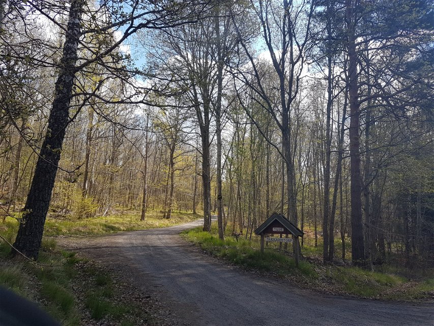
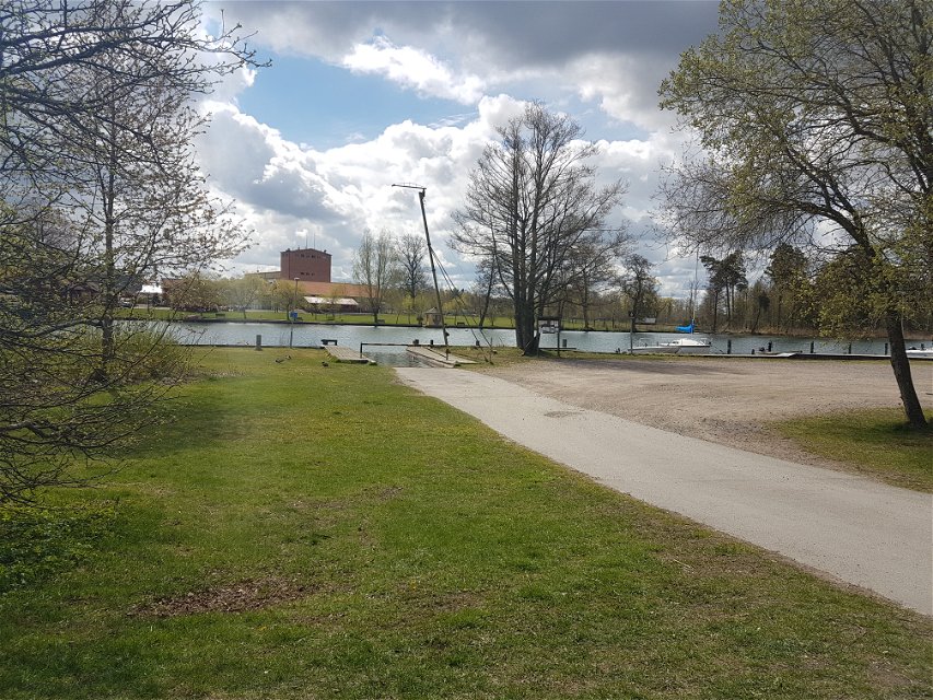
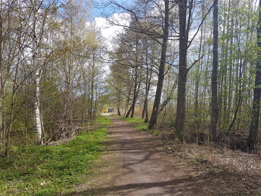
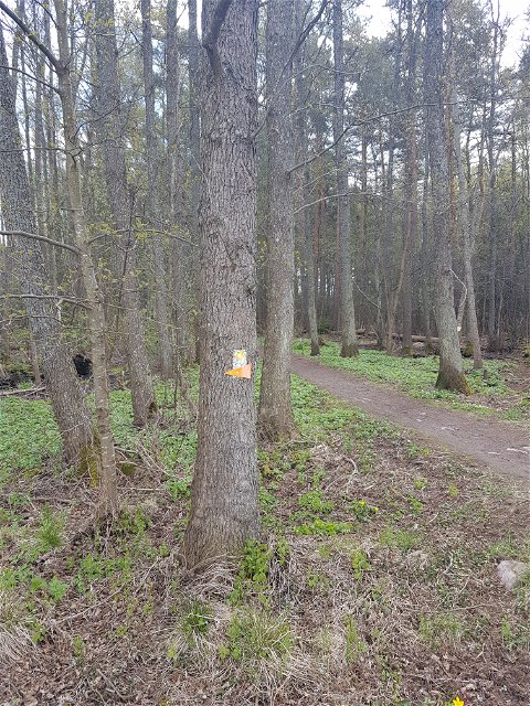
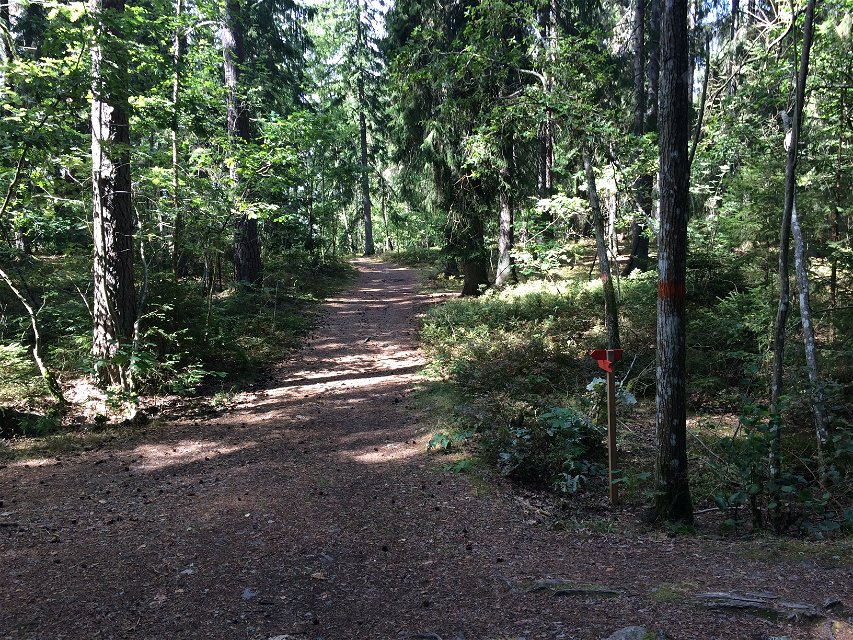
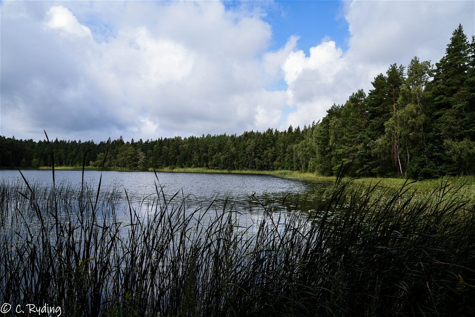
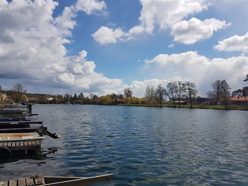
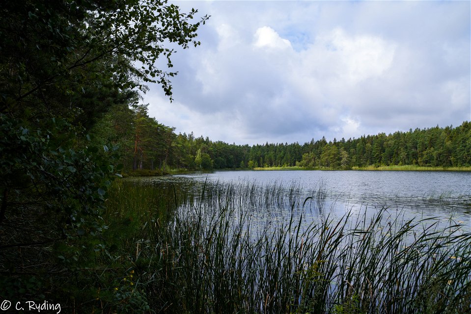
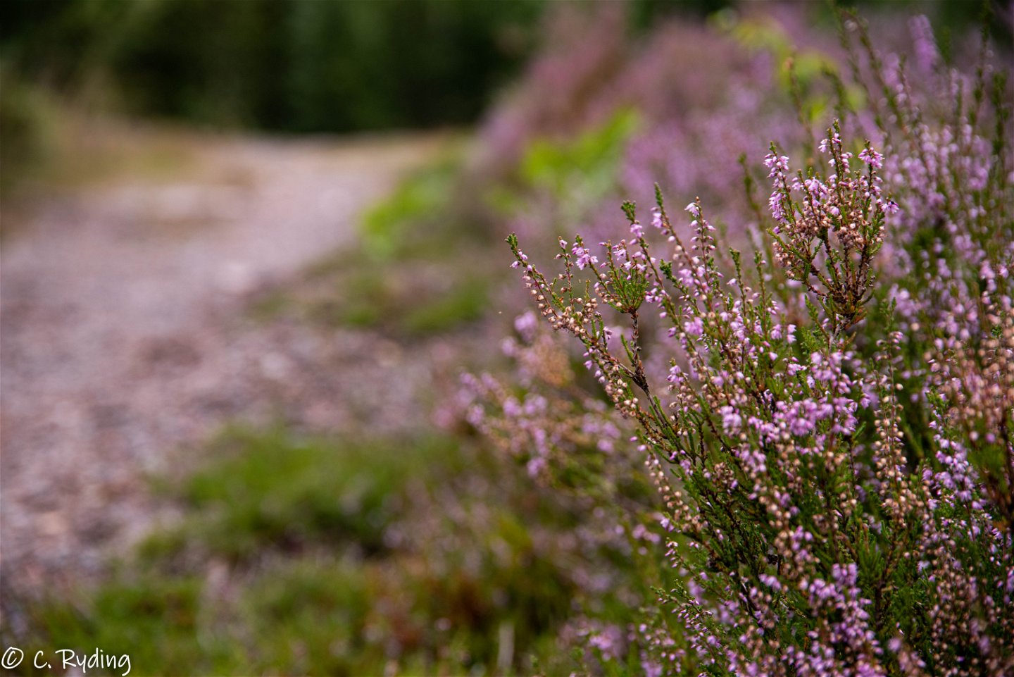
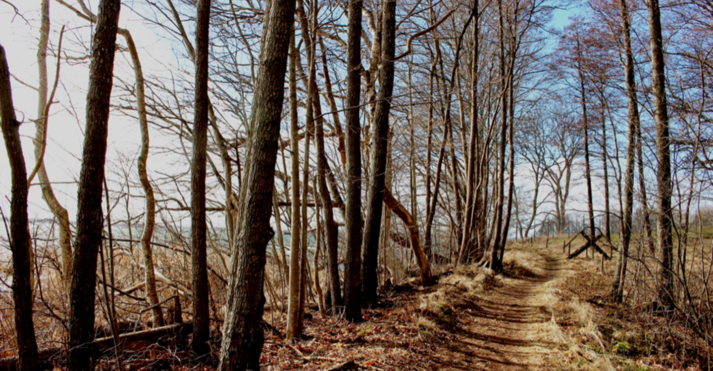
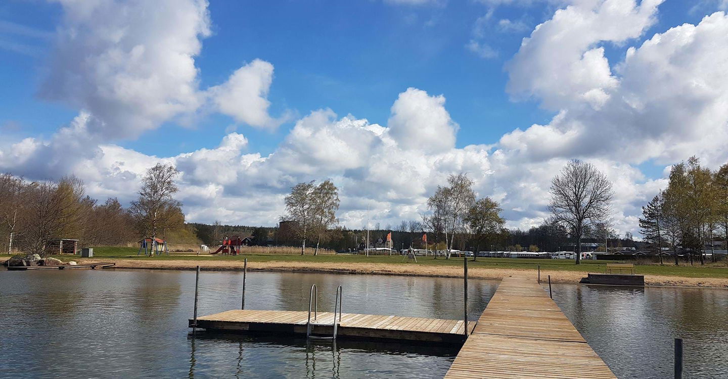
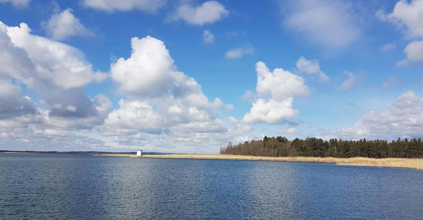
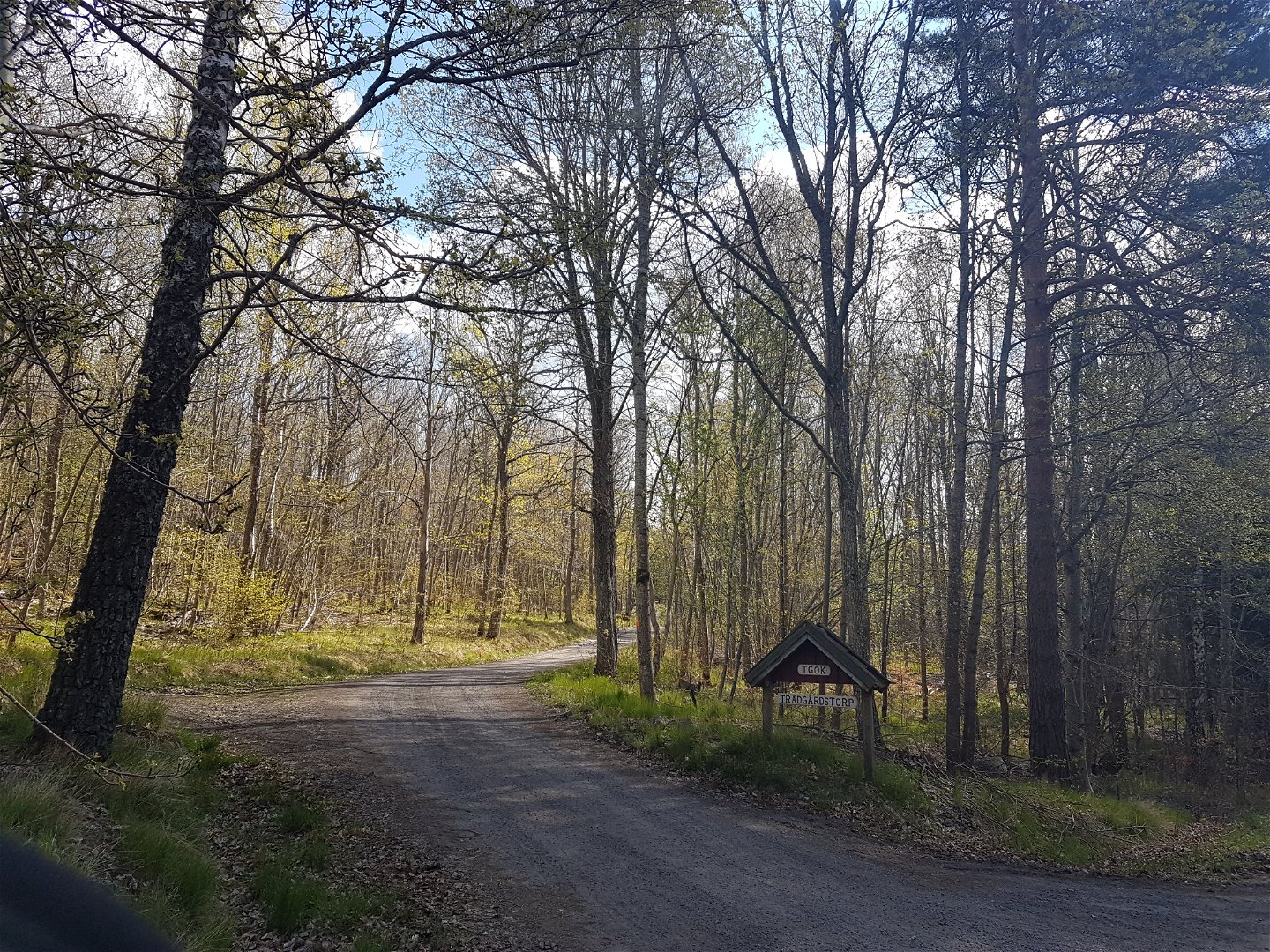
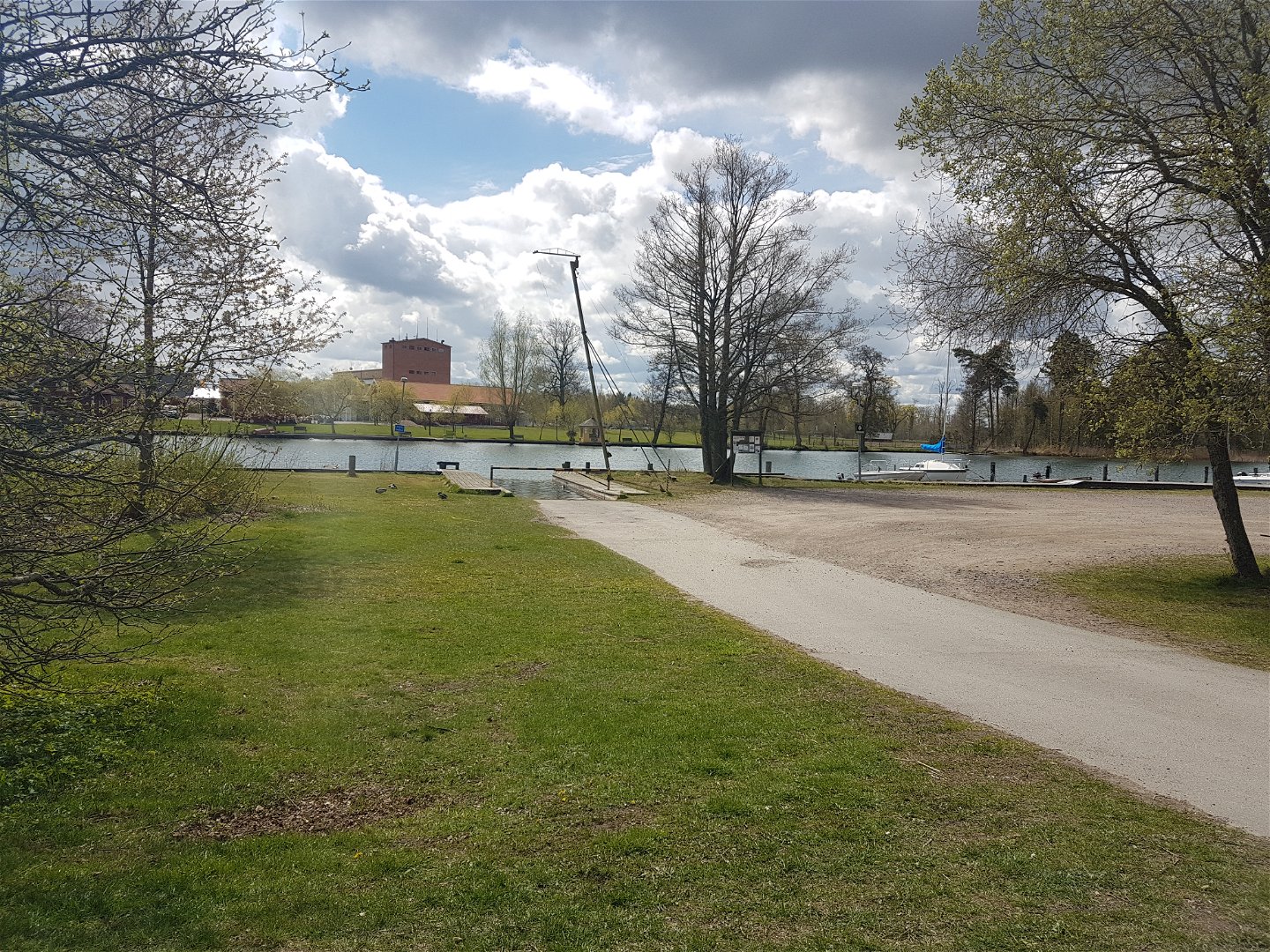
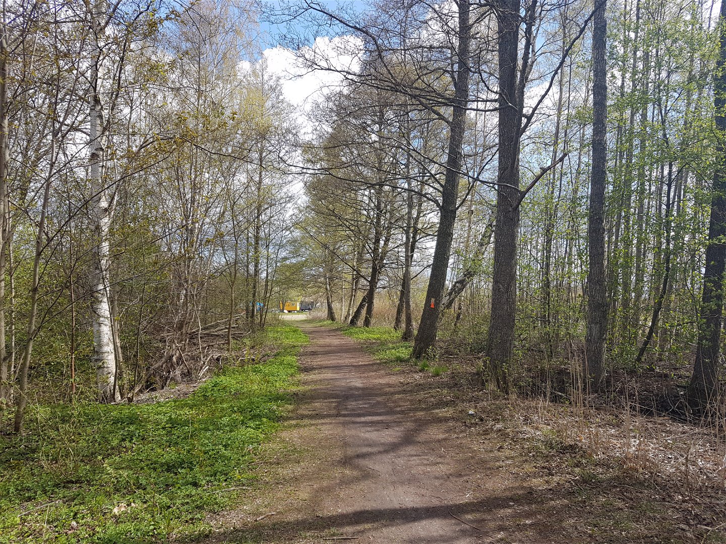
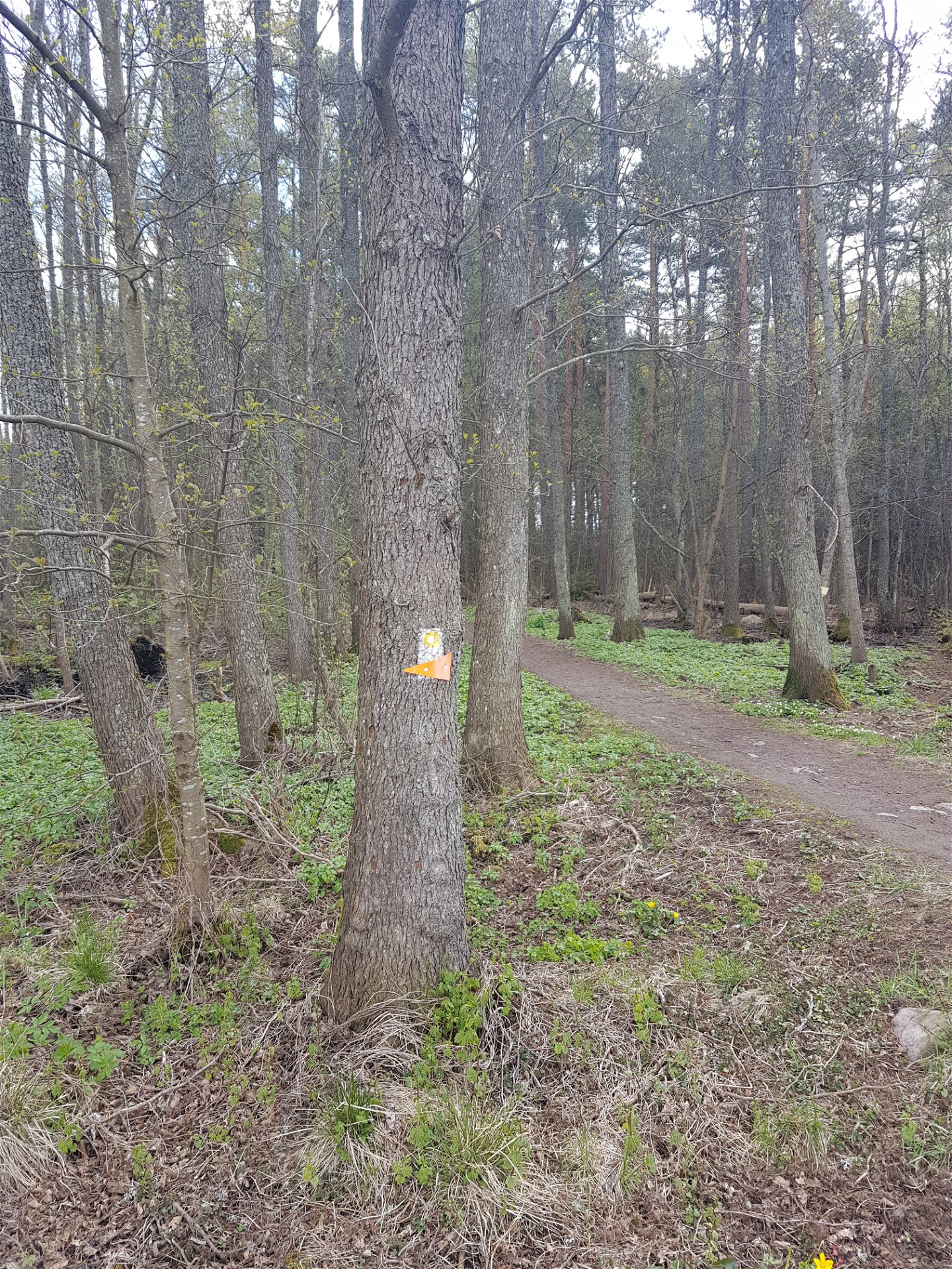
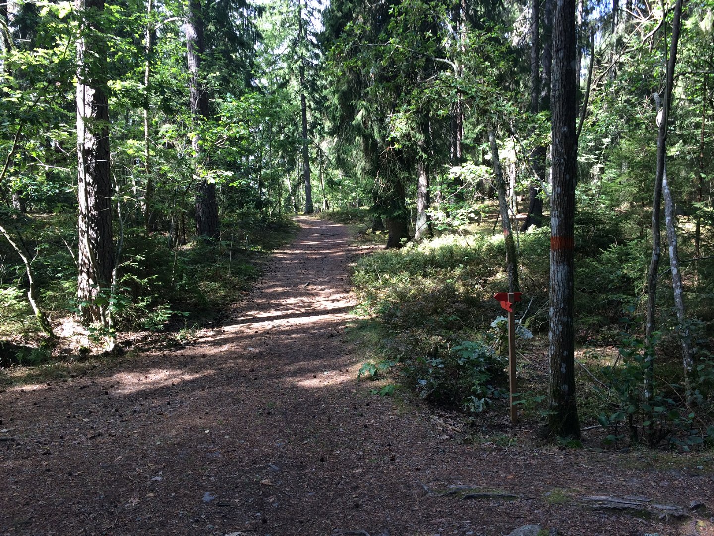
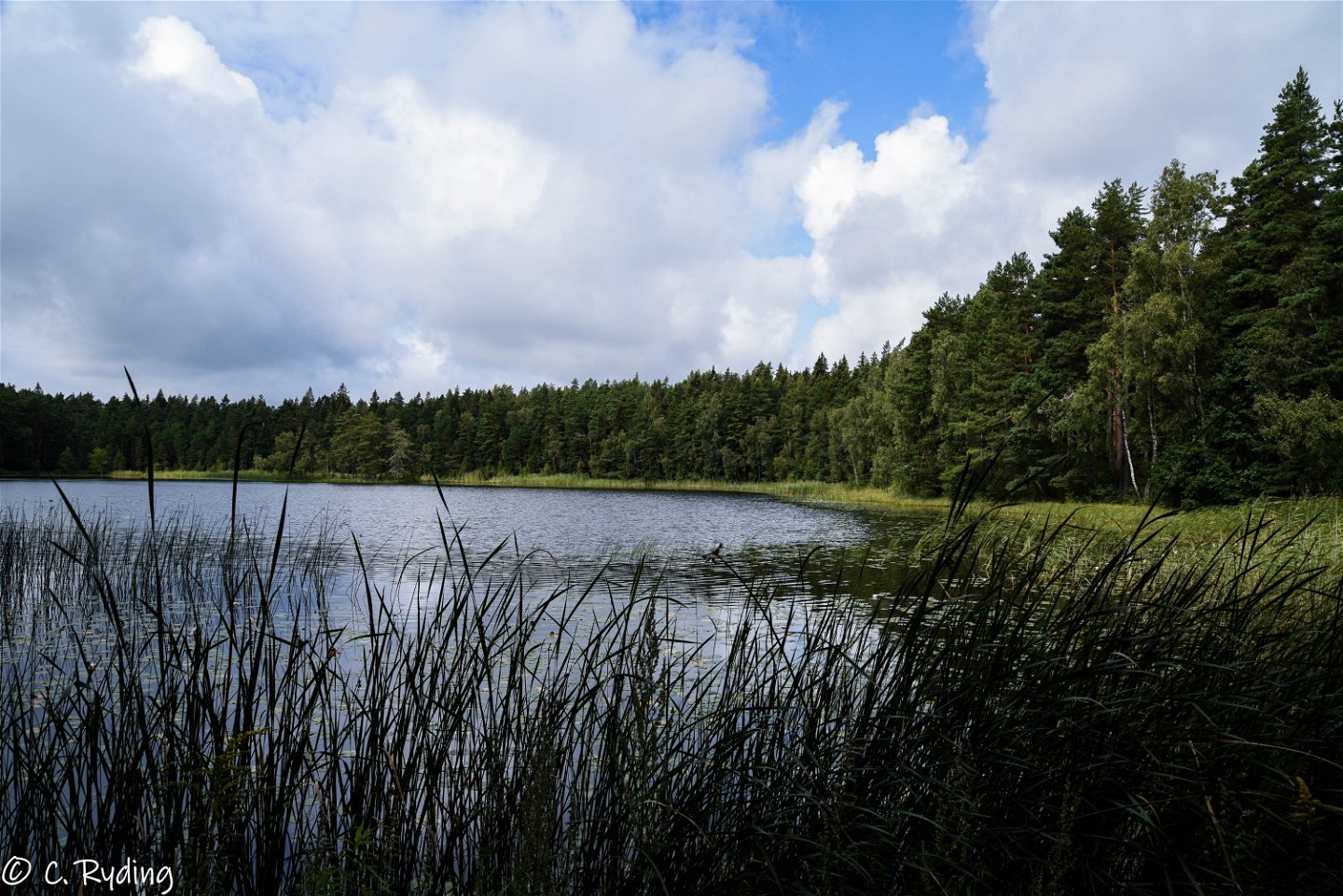
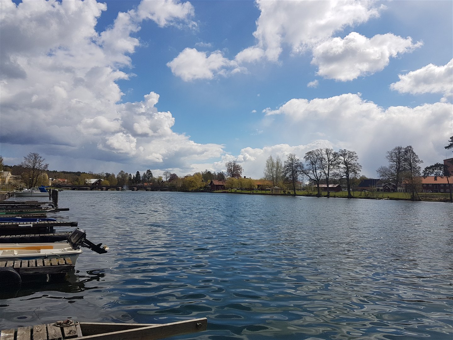
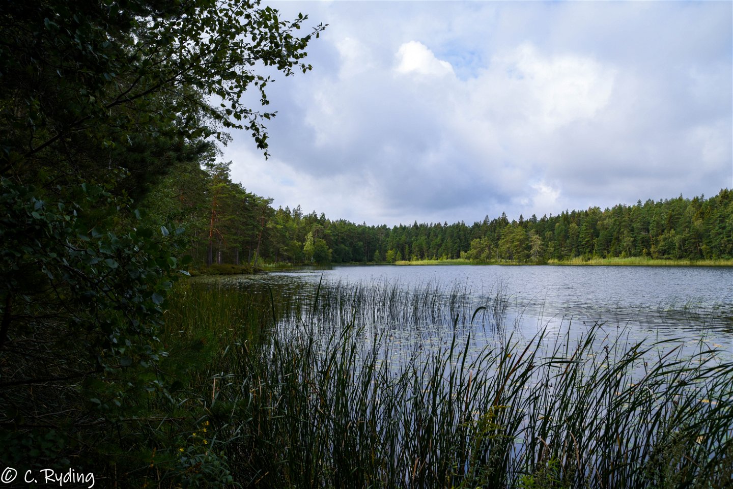
In Borensberg you will find a 10.7 km long trail. The loop extends almost around the entire Borensberg on the north side of the Motala stream. The trail runs along Motala ström and Lake Boren, a beautiful section with fantastic nature. The route continues north through residential areas, until you reach the large and beautiful Bergvalla-Hällaskogen. In Bergvalla-Hällaskogen, there is a trail for running, a windbreak and a lookout point on the historic Juteberget, where on clear days you can actually see all the way to Linköping Cathedral! The terrain is varied, mostly small paths but also some asphalt. The trail along Boren's beach is adapted for accessibility. The trail is also adapted to be cycled. A mountain bike may be preferred but a "regular" bike has been tested and it also works well. However, you may have to pull the bike some short distances.
Activities And Facilities
-
Biking
-
Hiking
-
Circular trail
Accessibility
-
Near parking
-
Near Public Transport
-
Near toilet
-
Wheelchair accessible
Surface
Grus, asfalt, spång, berg i dagen ...
Parking
By the canal/coffee shop and marina.
Directions
Borensberg is located midway between Linköping and Motala along road 34 in Motala municipality. If you go by train, you get off at Linköping Travel Center or Motala Train Station and take the bus to Motala or Linköping. For the current timetable see www.ostgotatrafiken.se.
Downloads
Contact
Address
Välkommen till Östgötaleden, 150 mils vandring i Östergötland!
Email address
Kontakt Östgötaleden
Organization logotype

Please be aware that some of these texts have been automatically translated.
Questions & Answers
Ask a question to other Naturkartan users.


