New ARK56 map with two new trails
Images

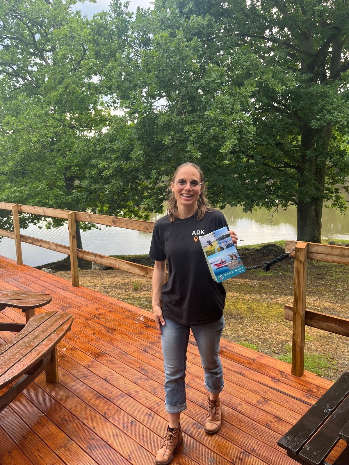
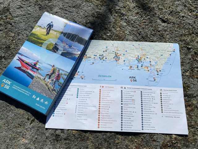
Do you also love the ARK56 map that contains the finest of Blekinge's trails? We have good news: This year we have printed a new edition of the large ARK56 map that covers the whole of Blekinge at a scale of 1:50000 and also includes the Blekingeleden.
Two new ARK56 hiking paths on the map
The new map comes with a fresher design as well as two new fantastic routes!
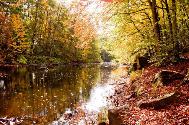
Lyckåleden (Lucky path) in Karlskrona
Hiking along the beautiful Lyckebyån, which meanders through beautiful nature. The Lyckåleden is about 6 km long and runs between Lyckåvallen, the sports ground in Lyckeby, in the south to Lyckåborg in the north. The trail goes through exciting and beautiful nature and passes several historical places with information signs. The same path back if you don't want to go to the other side of the river, but then the country road and cycle path apply. There are also buses from Augerum kyrka (church) or Lyckeåborg.
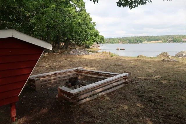
The historical Gribshundsleden in Ronneby
A pleasant tour with a rich history that can be experienced equally well by bike, on foot or by car for those who need it. See the vulture dog's shipwreck site, barbecue and swim in the Saxemara nature park, visit the old boatyard and make your way along the coast to Bussevik for an overnight stay or coffee break in a wind shelter.
Get a map but think about the environment
You can find the new map at the local tourist offices and at all ARK56 companies. We have also printed a new overview map of all 97 ARK56 companies along the Blekinge coast and archipelago.
However, it's important that you don't just throw away your old map if you already have one at home. Give it to a friend who is just starting to discover ARK56 and Biosphere Reserve Blekinge Archipelago!
Contact
Address
Blekinge Arkipelag Kurpromenaden 4 372 36 Ronneby
Email address
Team ARK56
Organization logotype
![]()