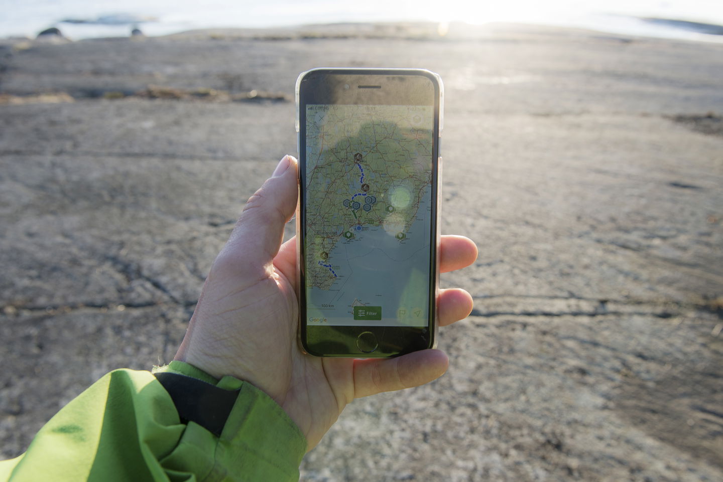
Download the ARK56 trails now as GPX files for navigation
Images
Do you use a bike computer or other navigation device, or perhaps an app to help you navigate or train? Now you can download all ARK56 hiking and biking trails to your device!
Downloading a GPX file gives you a route to follow on your hike or bike ride, which can make navigation easier.
GPX files are available for download for all ARK56 walking or cycling trails, and the download link is at the end of the introductory description of each tour. It is important, though, that you use the online version https://www.naturkartan.se/en/ark56 as you can not download the gpx file directly via the ARK56 app on the phone.
If you don't have a program in your smartphone that can read gpx files, there are several different variants to download for free where you download apps. An app that is simple, free and used by many is called GPX Viewer.
If you would also like a gpx file for one of our kayaks or sailing routes, please contact us under team@ark56se.
Go out and discover Blekinge, for a day or a week! There is so much more out there than you might realize. You are here now.
Contact
Address
Blekinge Arkipelag Kurpromenaden 4 372 36 Ronneby
Email address
Team ARK56
Organization logotype


