Discover Hanö's geological trail, one of the most recent ARK56 trail's in Blekinge
Images
-

Photo: Robert Ekholm -

Photo: Robert Ekholm -

-

Photo: Robert Ekholm -

Photo: Robert Ekholm -

Photo: Robert Ekholm -

Photo: Robert Ekholm -

Photo: Robert Ekholm -

Photo: Robert Ekholm
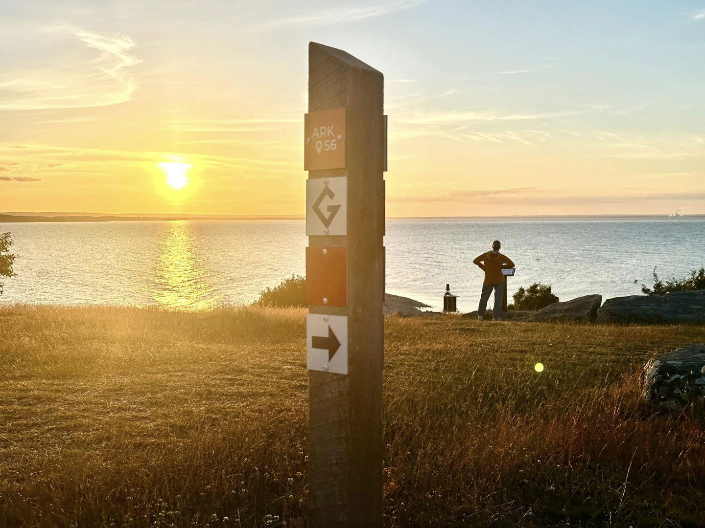
The purpose of ARK56 is to make Blekinge's unique nature and cultural values more accessible. Therefore, we are extra happy that we can present a new trail that takes you far back in Blekinge's history.
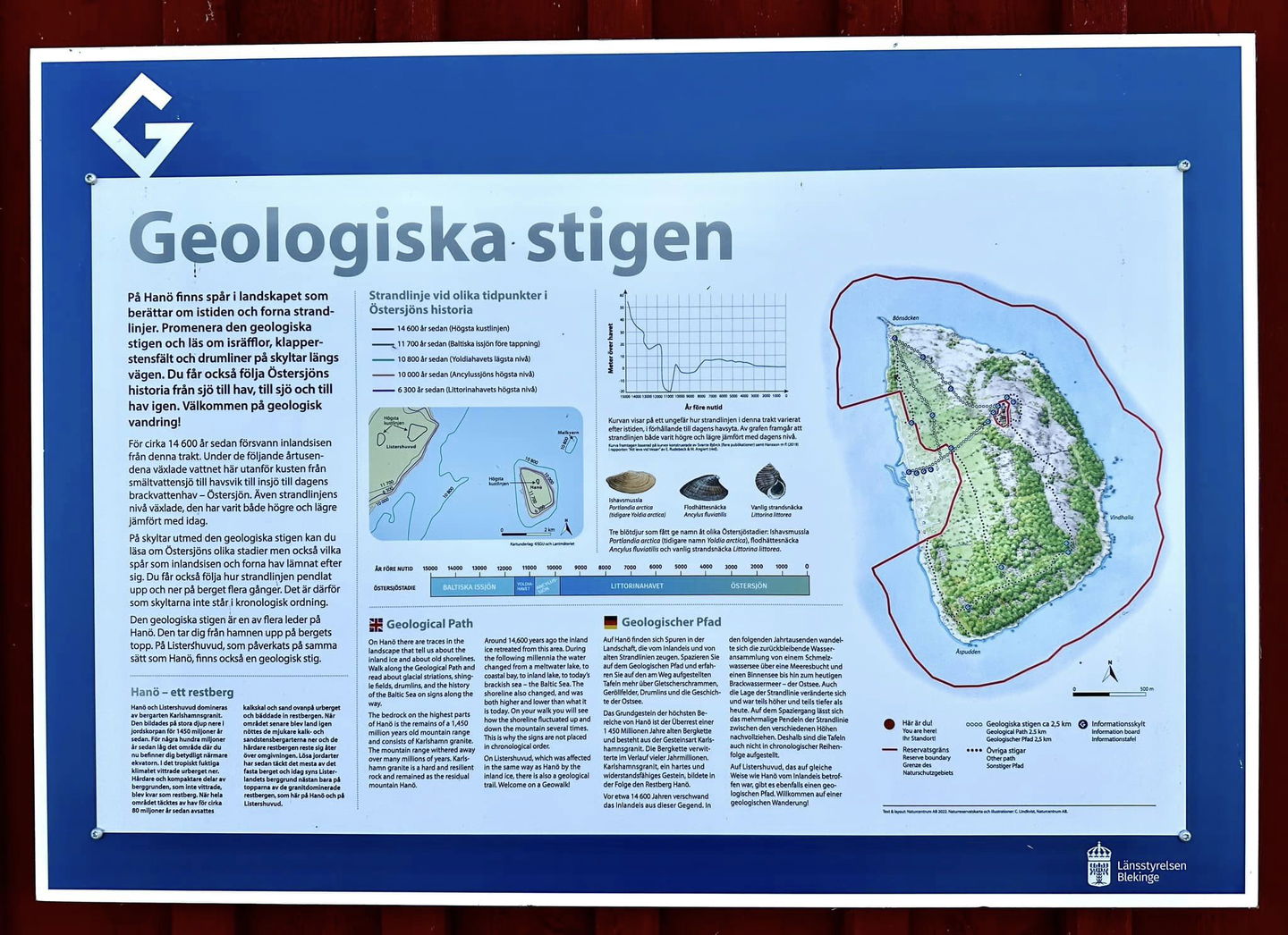
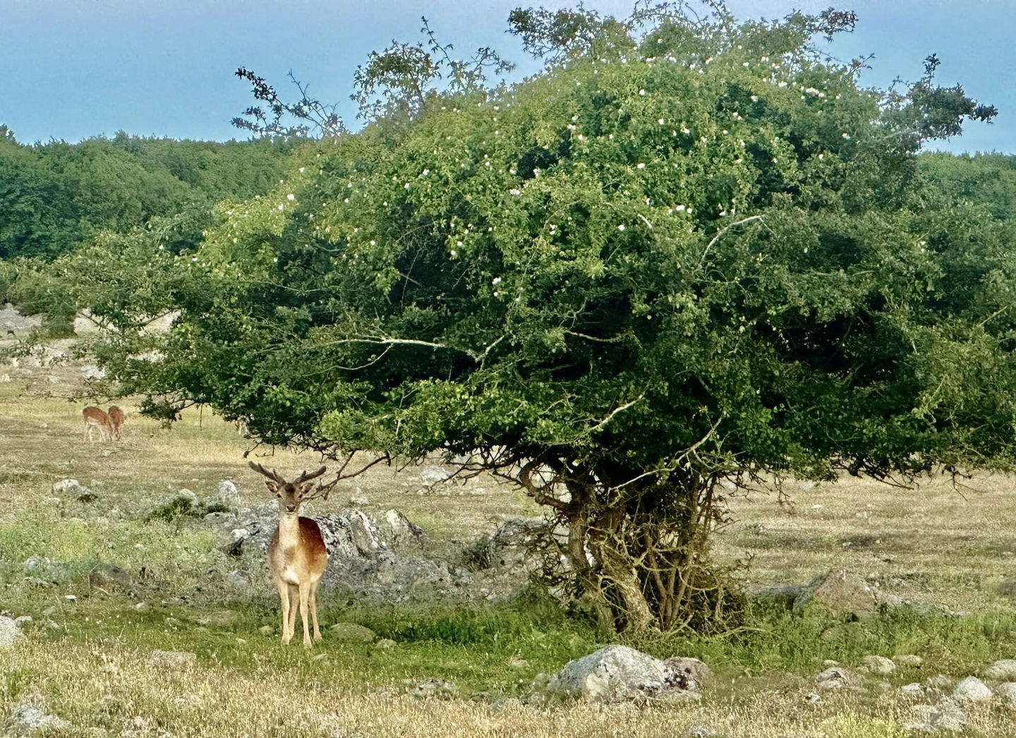
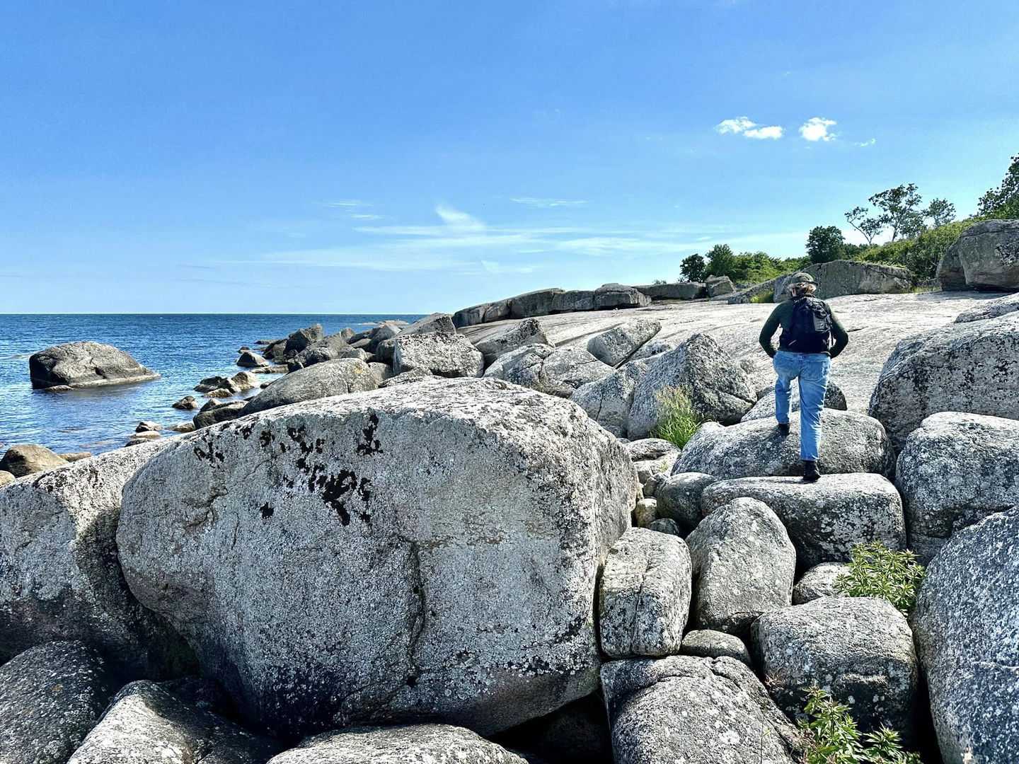
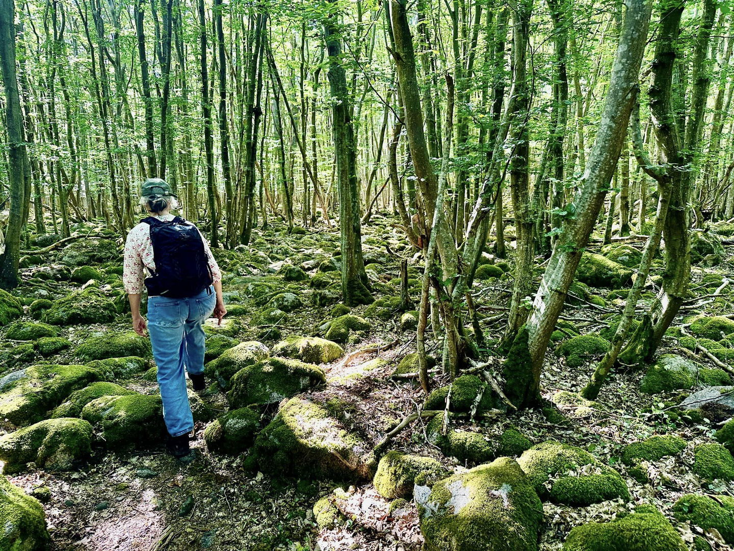
In Hanö, there are traces in the landscape that tell of the ice age and ancient times water levels. Walk the geological trail and read about ice grooves, cobblestone fields and drumlines on roadside signs.
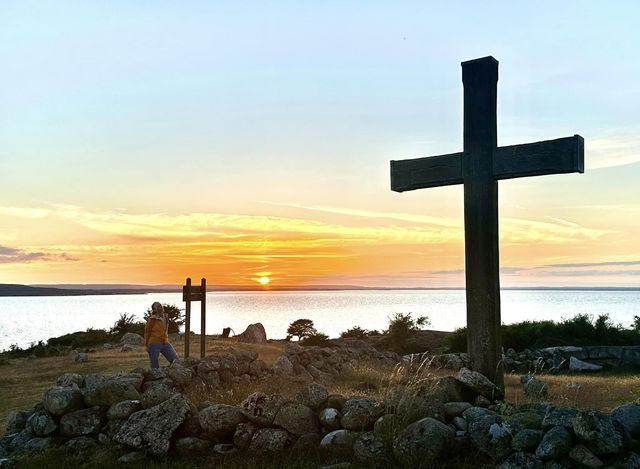
Welcome to a geological hike!
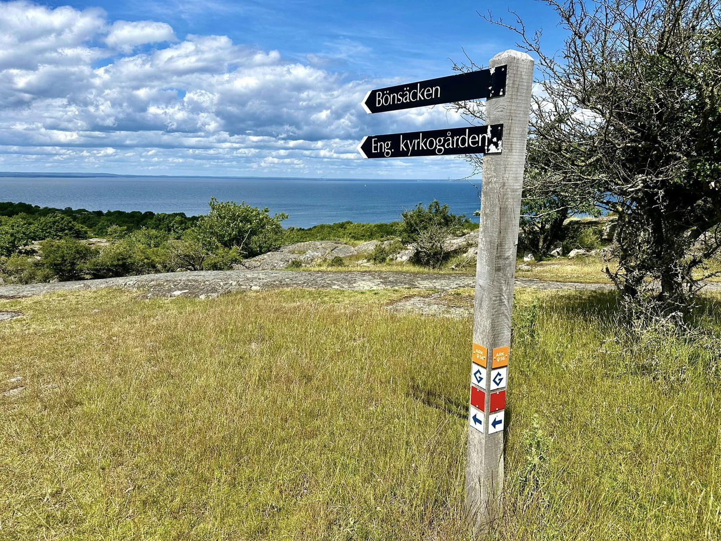
About 14,600 years ago the ice sheet disappeared from this region. During the following millennia, the water here off the coast changed from a meltwater lake to a bay to an inland lake to today's brackish sea - the Baltic Sea. The level of the shoreline also changed, it has been both higher and lower compared to today. On signs along the geological path you can read about the Baltic Sea's different stages but also what traces the ice sheet and former oceans have left behind. You also get to follow how the shoreline oscillates up and down the mountain several times.
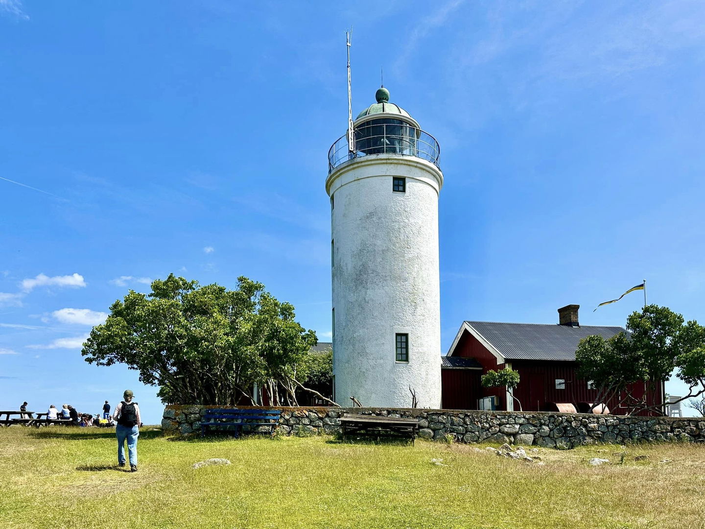
The geological path is one of several paths on Hanö. It takes you from the harbor up to the top of the mountain.
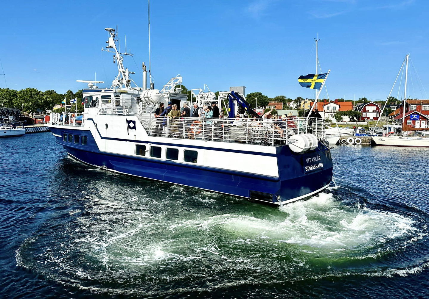
The boat runs all year round from Nogersund, check boat times at https://www.blekingetrafiken.se/reseinformation/skargardstrafik/
Contact
Address
Blekinge Arkipelag
Kurpromenaden 4
372 36 Ronneby
Email address
Team ARK56
Organization logotype
![]()