Kayaking ARK56
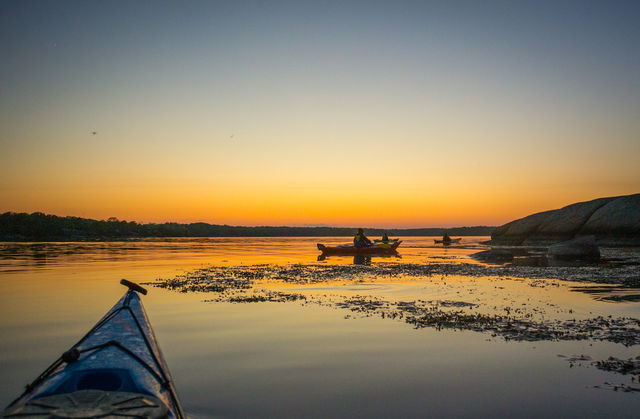
The ARK56 kayaking trail runs through the whole of the Blekinge Archipelago. There’s one joined-up…
Hub
Bredavik is one of ARK56’s hubs. The hubs are where different trails intersect, making them a good place to start or end your adventure – or to swap mode of transport and continue exploring the Blekinge Archipelago by bike, kayak, boat, ferry or on foot.
Sturkö is the biggest island in Blekinge and is said to have got its name from the fact that storks once nested here. The island became famous in the 1980s when the Russian submarine S-363, known in Sweden as U-137, ran aground one winter night off Torhamnaskär, south-east of Sturkö.
You’ll find beautiful narrow roads, peaceful coves for swimming, excellent fishing waters and stunning views from up by Sturkö mill. On a clear day, you can just make out the lighthouse on Utklippan, the most south-easterly island of Sweden, from the coastal heath in Uttorp nature reserve, the furthest you can get out into the archipelago without a boat.
Here ARK56 and the Blekinge Archipelago are at your feet, and round the cape or headland, a unique environment awaits, shaped by nature, animals and people for thousands of years.
Sturkö är Blekinges största ö och tillhör Karlskrona kommun. På Sturkö har ett av de äldsta skeppsvraken hittats i Ryamadsviken, man tror att det är från 1200-talet.
Finns på Bredaviksbrygga, grusad yta.
Både buss, nr 123 samt båt M/S Flaggskär trafikerar till Karlskrona.
Blekinge Arkipelag Kurpromenaden 4 372 36 Ronneby
Team ARK56

Ask a question to other Naturkartan users.