
-
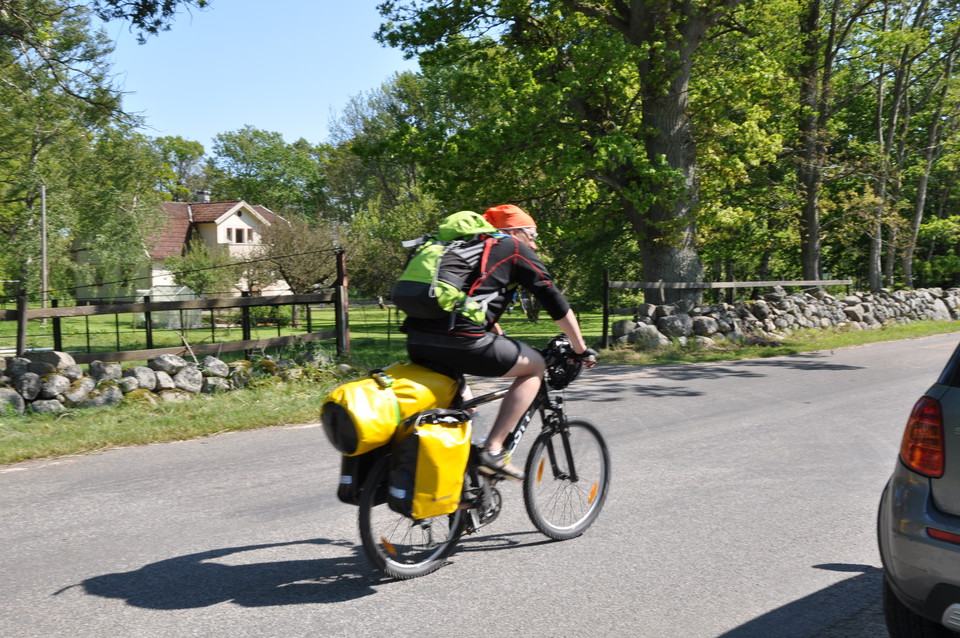
Photo: Mattias Holmquist -
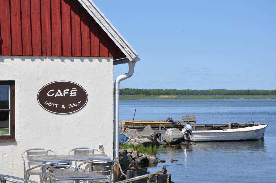
Photo: Mattias Holmquist -
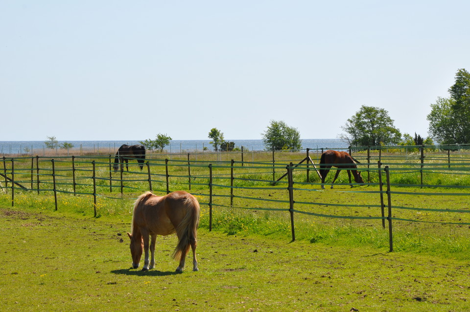
Photo: Mattias Holmquist -
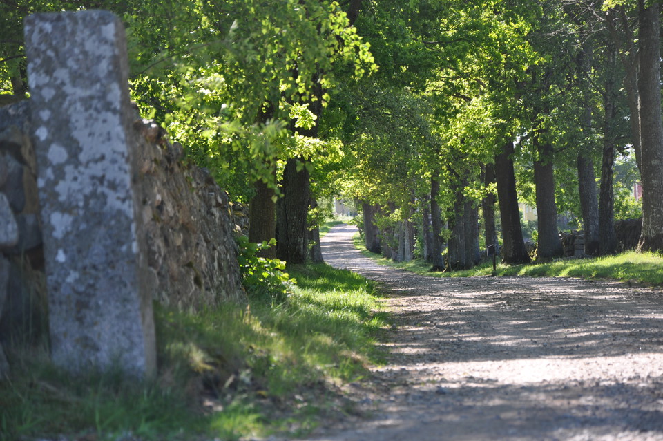
Photo: Mattias Holmquist -
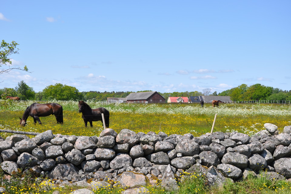
Photo: Mattias Holmquist -
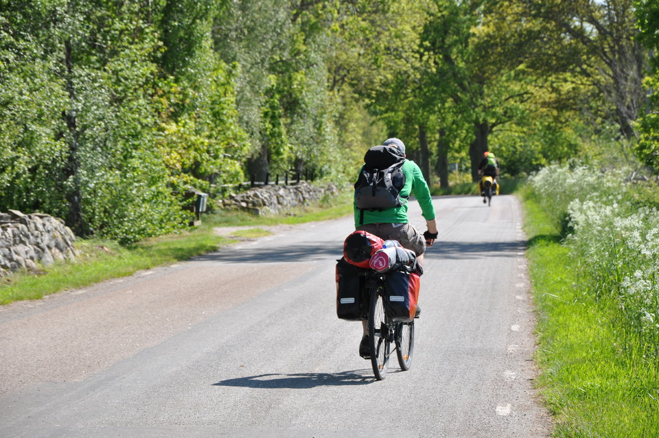
Photo: Mattias Holmquist -
-
Cykelled Torhamn - Kristianopel
- Biking
- County: Blekinge län
- 6909.13 km away from you
Trail details
- Length 25.5 km
Actions
Description
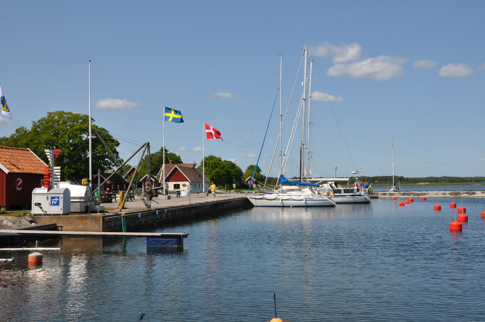
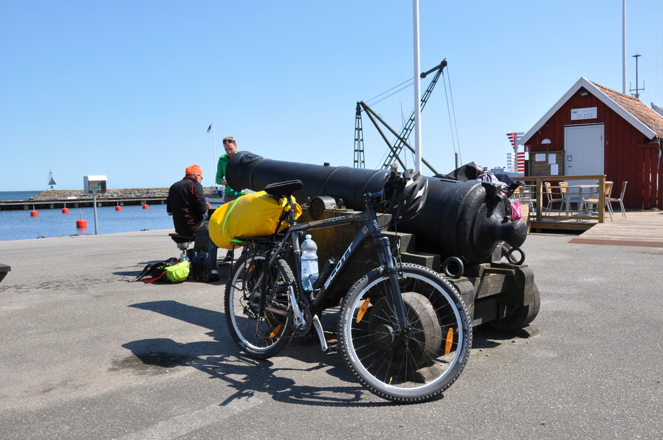
The trail leads down the eastern coast of the Blekinge Archipelago and between the coastal meadows, heaths and farmland of the Torhamnlandet headland and Kristianopel with all its history. The town spent much of its past on the border between Sweden and Denmark and has changed nationality several times. The coastal stretch offers farm shops, small harbours and plenty of wildlife.
The trail is unmarked so it is best followed in the app or on a map available from the companies in the app or the tourist offices in Karlshamn, Ronneby and Karlskrona.
Activities And Facilities
- Biking
Surface
National highway.
Downloads
Contact
Address
Blekinge Arkipelag
Kurpromenaden 4
372 36 Ronneby
Email address
Team ARK56
Organization logotype

Please be aware that some of these texts have been automatically translated.
I’ve been here 2

I want to go here 4
Questions & Answers
Ask a question to other Naturkartan users.
Reviews
0 reviews
- 5 :
- 4 :
- 3 :
- 2 :
- 1 :
Users images
No user images yet. Be the first to share!
