Kayaking ARK56
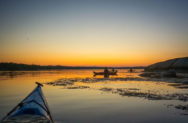
The ARK56 kayaking trail runs through the whole of the Blekinge Archipelago. There’s one joined-up…
Hub
Brofästet on Senoren is one of ARK56’s hubs. The hubs are where different trails intersect, making them a good place to start or end your adventure – or to swap mode of transport and continue exploring the Blekinge Archipelago by bike, kayak, boat, ferry or on foot.x000D x000D Senoren was known as Sinhorn when it was Danish. “Horn” means a high headland. The origin of “Sin” is unknown, but it may mean something like “dry”. Legend also has it that the name arose from stranded Spaniards.x000D x000D The 560-metre bridge was built in 1998 and replaced a lower bridge built in 1939, which could be opened. Before then, visitors usually came ashore at the steamer jetty further to the east and today this makes a good starting point for a walk up the beautiful hill of Kalvbacken. Further south, you get beautiful views of the archipelago from the viewpoint on Bötet. This is where warning beacons, known as bötar, were lit in times gone by.x000D x000D Here ARK56 and the Blekinge Archipelago are at your feet, and round the cape or headland, a unique environment awaits, shaped by nature, animals and people for thousands of years.
Blekinge Arkipelag Kurpromenaden 4 372 36 Ronneby
Team ARK56

Ask a question to other Naturkartan users.