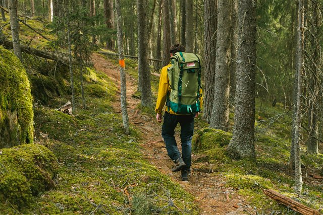
Hiking Best hiking trails in Värmlands län

Naturkartan samlar de vandringslederna i Värmlands län som är populärast bland våra användare.

Map

De bästa vandringslederna (198):

Fämtleden

Hiking Hiking

Fämtleden

  • Municipality: Torsby
  • 6532.44 km away from you
  • Length 8.0 km
  • Difficulty: Red
Gruvrundan

Hiking Hiking

Gruvrundan

  • Municipality: Sunne
  • 6541.69 km away from you
  • Length 10.0 km
Led Högbergsfältet

Hiking Hiking

Led Högbergsfältet

  • Municipality: Filipstad
  • 6628.45 km away from you
  • Length 4.7 km
  • Difficulty: Blue
Ängenleden

Hiking Hiking

4.0 of 5 stars

Ängenleden

  • Municipality: Sunne
  • 6546.31 km away from you
  • Length 17.0 km
  • Time about 7 hours
  • Difficulty: Red
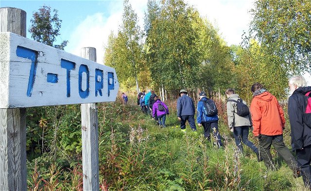
7-torpsleden

Hiking Hiking

5.0 of 5 stars

7-torpsleden

  • Municipality: Torsby
  • 6520.31 km away from you
  • Length 7.9 km
  • Time about 3 hours
  • Difficulty: Blue
Kycklingleden

Hiking Hiking

5.0 of 5 stars

Kycklingleden

  • Municipality: Grums
  • 6594.47 km away from you
  • Length 5.7 km
  • Time about 2 hours
  • Difficulty: Red
Södra Gunnarskogsleden

Hiking Hiking

Södra Gunnarskogsleden

  • Municipality: Arvika
  • 6539.18 km away from you
  • Length 23.6 km
  • Time about 9 hours
  • Difficulty: Blue
Nordvärmlandsleden

Hiking Hiking

5.0 of 5 stars

Nordvärmlandsleden

  • Municipality: Torsby
  • 6487.05 km away from you
  • Length 52.0 km
  • Difficulty: Red
Led Råkullsrundan

Hiking Hiking

Led Råkullsrundan

  • Municipality: Torsby
  • 6534.69 km away from you
  • Length 8.0 km
  • Time about 3 hours
  • Difficulty: Red
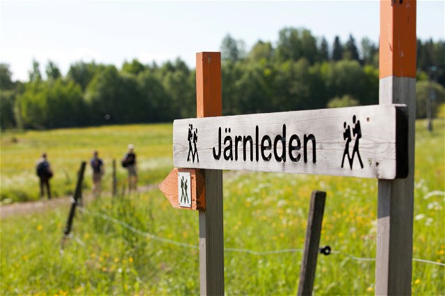
The Iron Trail

Hiking Hiking

The Iron Trail

  • Municipality: Kristinehamn
  • 6638.06 km away from you
  • Length 30.0 km
  • Difficulty: Blue
Sundsbergsleden

Hiking Hiking

Sundsbergsleden

  • Municipality: Sunne
  • 6566.7 km away from you
  • Length 6.0 km
Brattforsleden 10

Hiking Hiking

Brattforsleden 10

  • Municipality: Filipstad
  • 6616.58 km away from you
  • Length 23.4 km
  • Difficulty: Red
Brattåsleden

Hiking Hiking

Brattåsleden

  • Municipality: Torsby
  • 6534.76 km away from you
  • Length 6.9 km
  • Difficulty: Red
Svarthavet

Hiking Hiking

Svarthavet

  • Municipality: Arvika
  • 6548.97 km away from you
  • Length 5.6 km
  • Difficulty: Red
Sotar Blixtleden

Hiking Hiking

Sotar Blixtleden

  • Municipality: Arvika
  • 6551.4 km away from you
  • Length 11.0 km
  • Difficulty: Red
Led Torprundan Hovfjället

Hiking Hiking

Led Torprundan Hovfjället

  • Municipality: Torsby
  • 6534.69 km away from you
  • Length 3.7 km
  • Time about 2 hours
  • Difficulty: Blue
Naturkartan

Naturkartan

Open this in the app