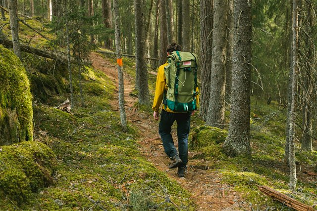
 Bästa vandringslederna i Värmlands län
Naturkartan samlar de vandringslederna i Värmlands län som är populärast bland våra användare.
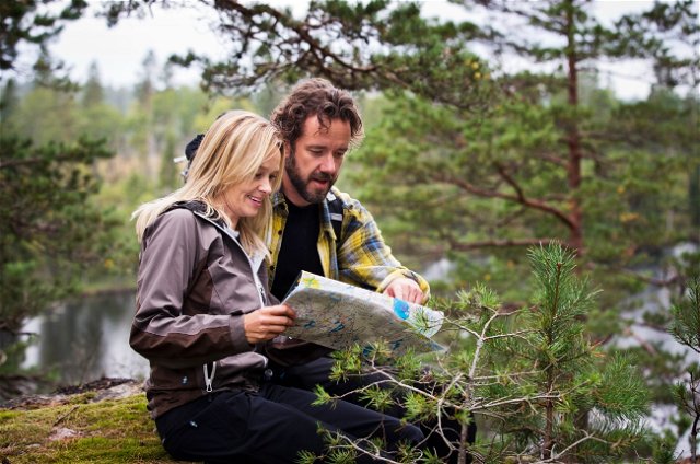
Mapa
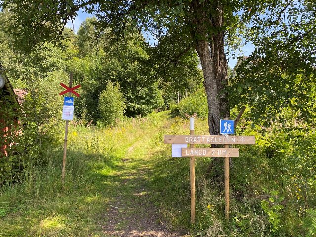
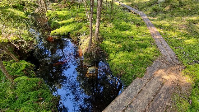
De bästa vandringslederna (205):
Wędrówki piesze
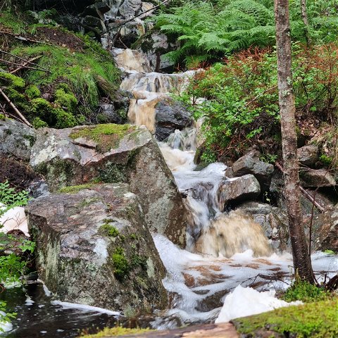
Halgåleden vid Brattfallet
- Gmina: Hagfors
- 6558.65 km od Ciebie
- 6.8 km
- około 4 godzin
- Trudność: Czerwony
Wędrówki piesze
Ängenleden
- Gmina: Sunne
- 6546.31 km od Ciebie
- 17.0 km
- około 7 godzin
- Trudność: Czerwony
Wędrówki piesze
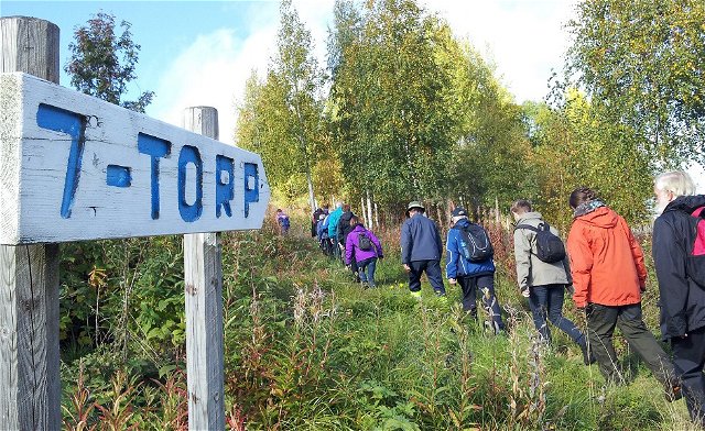
7-torpsleden
- Gmina: Torsby
- 6520.31 km od Ciebie
- 7.9 km
- około 3 godzin
- Trudność: Niebieski

Wędrówki piesze
Södra Gunnarskogsleden
- Gmina: Arvika
- 6539.18 km od Ciebie
- 23.6 km
- około 9 godzin
- Trudność: Niebieski
Wędrówki piesze
Kycklingleden
- Gmina: Grums
- 6594.47 km od Ciebie
- 5.7 km
- około 2 godzin
- Trudność: Czerwony
Wędrówki piesze
Led Råkullsrundan
- Gmina: Torsby
- 6534.69 km od Ciebie
- 8.0 km
- około 3 godzin
- Trudność: Czerwony

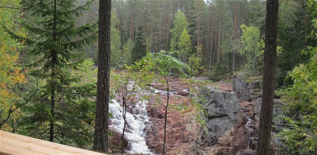
 Att göra
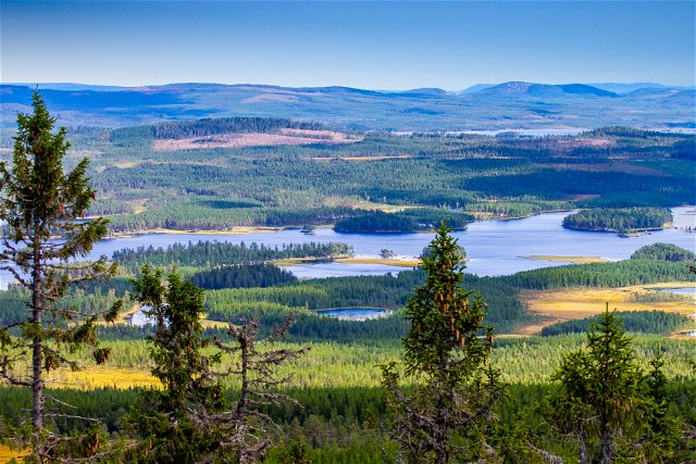
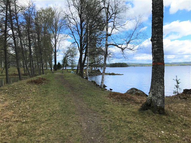
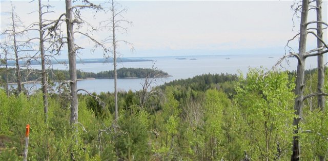
 Utsiktsplats
