 Best hiking trails in Tierp
Naturkartan samlar de vandringslederna i Tierp som är populärast bland våra användare.
Map
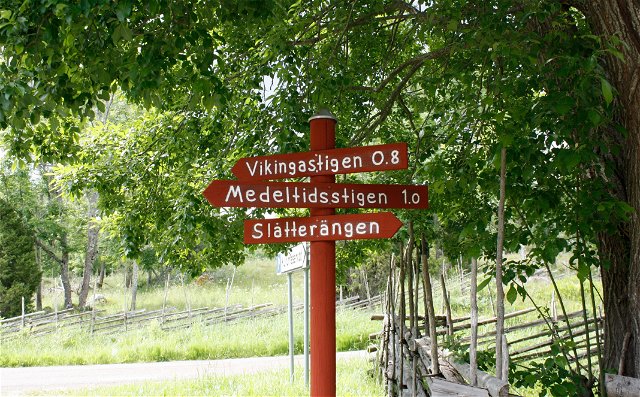
De bästa vandringslederna (22):
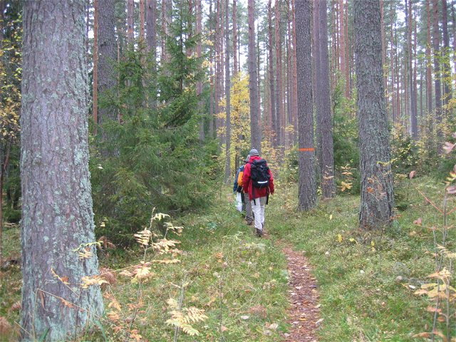
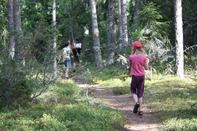
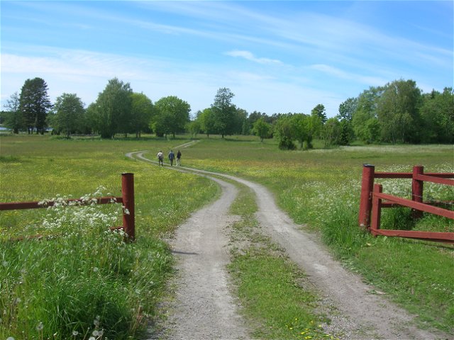
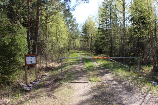
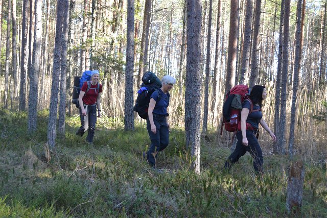
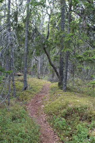
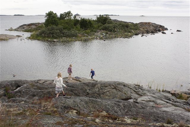
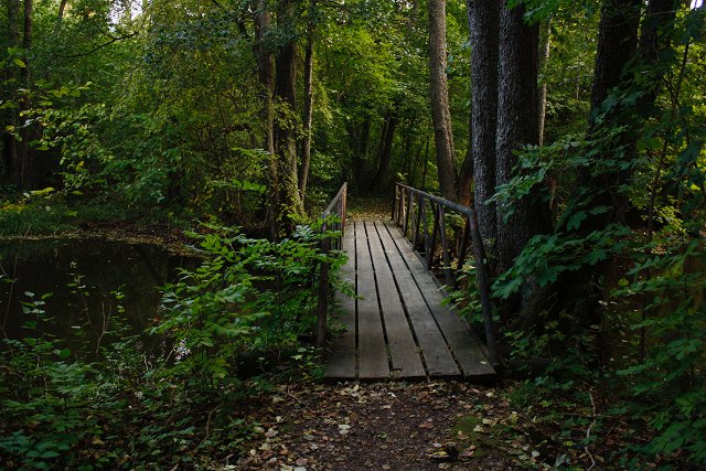
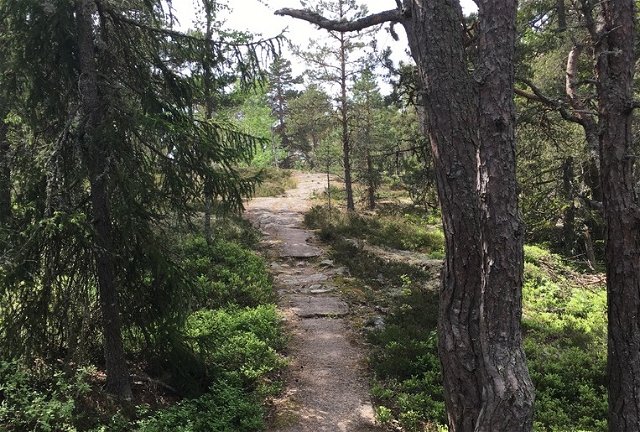
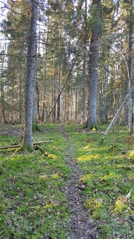
Hiking
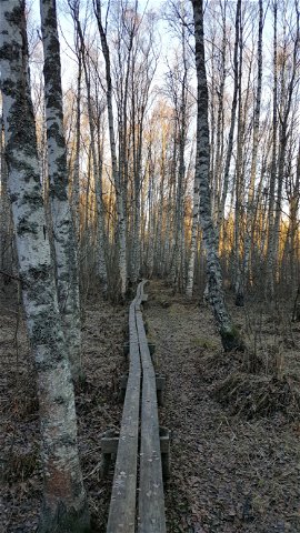
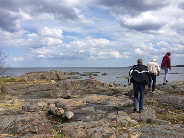
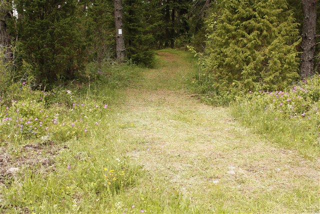
Stig till Sälstugan och Rödhäll, Hållnäskusten
- Municipality: Tierp
- 6760.55 km away from you
- 0.5 km

Hiking
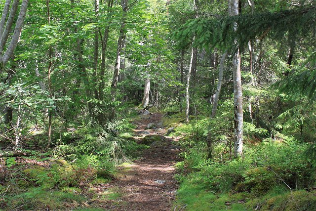
Stig mellan campingen och djuphamnen, Ängskär
- Municipality: Tierp
- 6770.35 km away from you
- 1.5 km
