
47 naturreservat i Biosfärområde Blekinge Arkipelag
Inom Biosfärområde Blekinge Arkipelag hittar du 47 naturreservat som alla erbjuder olika, men lika fantastiska…


Luonnonsuojelualue
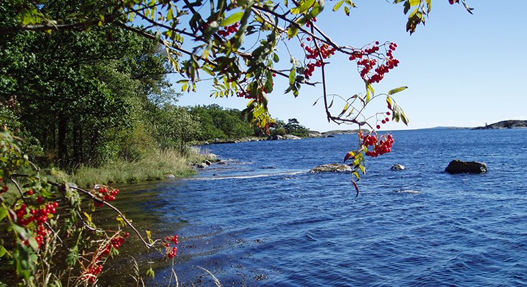
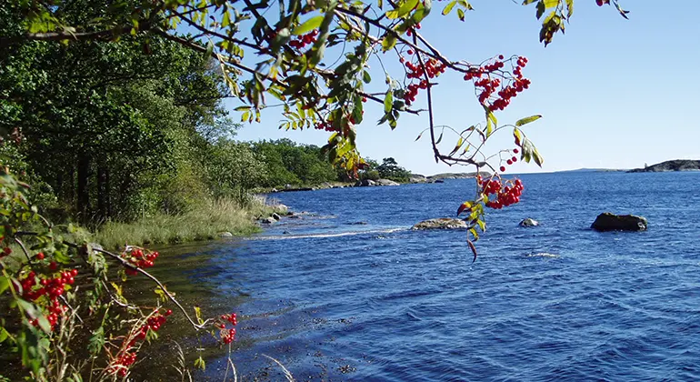
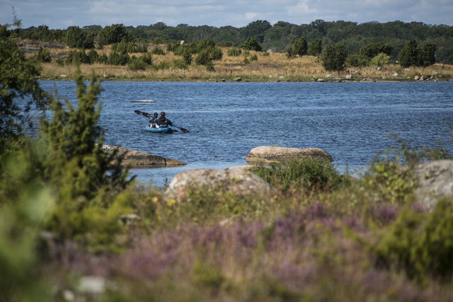
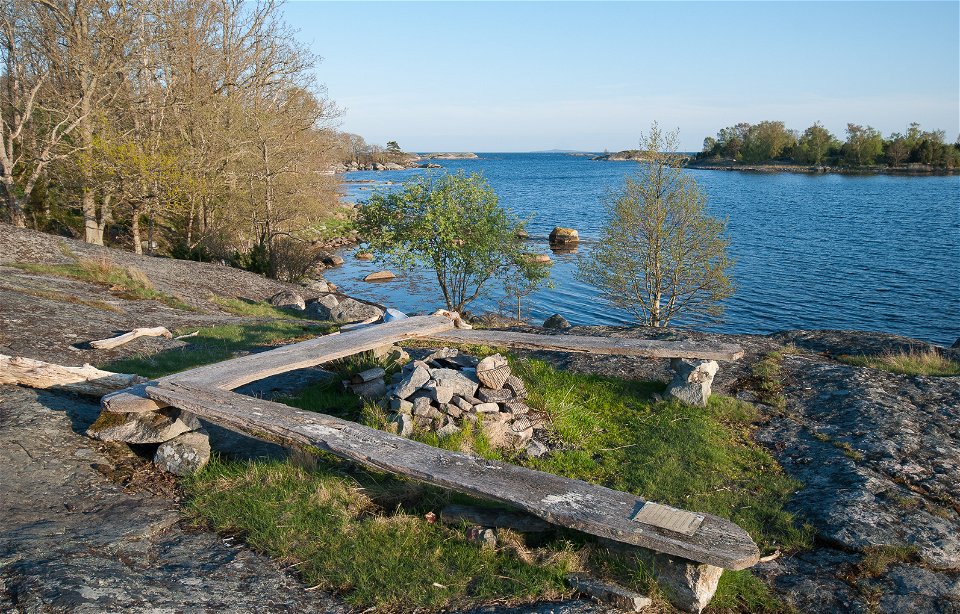
Stilleryd nature reserve comprises the headland on the mainland and the adjoining sea area with its islands and skerries. There are places to swim, picnic sites and a marked path.
The land on the mainland is dominated by open vegetation and thinly forested areas on the bedrock, mainly comprising oak, pine and juniper bushes. The whole headland has been used for grazing on unenclosed land since “time immemorial” according to legal documents from the early nineteenth century, and used to be known as “the ox meadows”. In the north-east there is open grassland, which at times has functioned as a hayfield, and was also cultivated during part of the twentieth century. Much of the nature reserve on the mainland is still grazed during the summer.
To protect bird life from disturbance, visitors may not land on or approach most of the islands and the skerries between 1 April and 15 July.
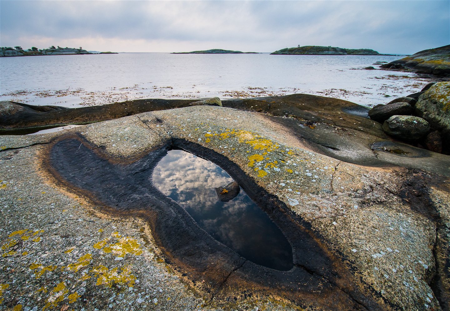
In the west, there is Blekinge coastal gneiss, Blekinge’s provincial stone, which used to be quarried to make cobbles. There are many traces of historic quarrying in the western part of the nature reserve.
The rules for the nature reserve are shown in the link below, but, for example, dogs must be kept on a lead other than when hunting, you may not ride a horse or a bike other than on roads intended for vehicular traffic, you may not light a fire or use a spirit stove other than in a place provided for the purpose, you may not use disposable barbecues, moor a boat or other vessel other than in a place designated for the purpose or otherwise on a temporary stay in the area, or pitch a tent or park a caravan or camper van for more than one night.
Source: County Administrative Board
Luonnonsuojelualue
Year of protection: 1967, extended in 2012
Municipality: Karlshamn
Characteristics: Coastal deciduous forest, pastures, archipelago, marine environment, outdoor recreation
Area: 83 hectares, of which 25 hectares are land and 58 hectares water
Landowners: Private and Karlshamn municipality
Manager: Blekinge County Administrative Board
Form of protection: Nature reserve and Natura 2000
Leave the E22 at junction 51, Karlshamn Väst, and follow the signs to Stilleryd. Turn left towards Stilleryds hamn. After about 100 metres, turn right towards “Naturreservat 4” (also signposted to “Kofsa” and “Drösebo”). Drive 1 kilometre and bear right towards “Drösebo” when the road forks. Follow Drösebovägen 3 kilometres to the nature reserve car park. The nearest bus stop is “Stilleryd” about 4 kilometres from the nature reserve.
You are welcome to visit Stilleryd, but please note that it is not allowed to
Without permission from the county administrative board, you may not
To protect nesting birds on the islands Aspeskärv, Östra Skaftholmen, Västra Skaftholmen, Björkeskärv, Klyvesholme and Andskärvet, you may not during the period April 1 to July 15
Länsstyrelsen Blekinge
![]()
Huomaa, että osa näistä teksteistä on käännetty automaattisesti.
Esitä kysymys muille Naturkartan-käyttäjille.
Inom Biosfärområde Blekinge Arkipelag hittar du 47 naturreservat som alla erbjuder olika, men lika fantastiska…
