Höglandsleden etapp HÖ15 Vikskvarn - Lövhult - En del av Smålandsleden
Vaellusreitit
- Kunta: Jönköpings län
- 6527.69 km päässä sinusta
Polun yksityiskohdat
- Pituus 23.9 km
- Aika 6 h
- Vaikeuksia Sininen - keskikokoinen
Toiminnot
Kuvaus
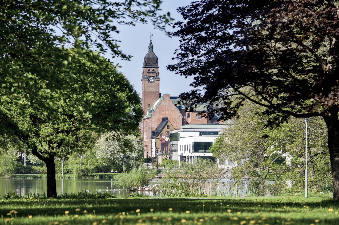
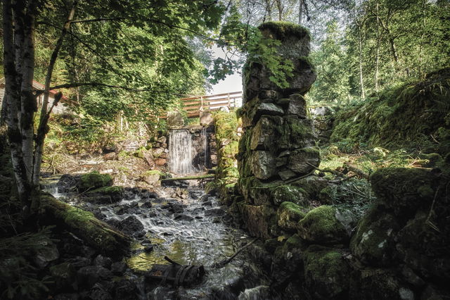
The 23.9 km long stage offers many discoveries. In Vikskvarn you can see the remains of the old mill and the geologically interesting Almesåkra formation. If you start in Lövhult, a few kilometers from Nässjö railway station, you will come to an outdoor area with exercise trails, sledding hill, riding hall and a paved trail for wheelchairs, roller skis and inlines. The campsite and hostel are open all year round.
Västra Bråna: A large village with beautiful pastures and historic farmland.
Spexhultasjön: One of the municipality's largest lakes, perfect for a bathing break. There is no municipal bathing area here, but it might be possible to take a dip anyway?
Torsa stenar: An impressive ancient site from the Iron Age with burial grounds and Sweden's largest trident, Drakaröret.
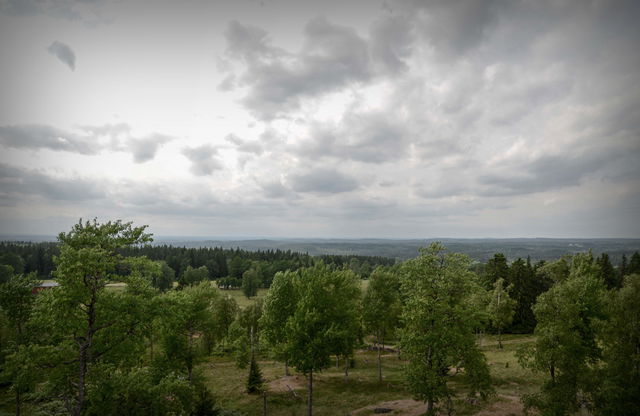
Huluberget: Södra Götaland's second highest point with miles of views and large moss fields to discover.
The nature around Nässjö offers recreation, community and challenge. Lövhult is an outdoor area with camping and cabins, perfect for hiking in the Småland highland nature.
Here you can start your hike on several stages of the Småland Trail, with routes leading east towards Eksjö or south past the Huluberget viewpoint and on towards Vikskvarn.
Nässjö is a junction where six railroad lines meet, making it easy to get here by train and then hike on.
Toimintaa ja tilat
-
Vaellusreitit
Ota yhteyttä
Sähköpostiosoite
Organisaation logotyyppi

Huomaa, että osa näistä teksteistä on käännetty automaattisesti.
Kysymykset & vastaukset (Q&A)
Esitä kysymys muille Naturkartan-käyttäjille.


