

47 naturreservat i Biosfärområde Blekinge Arkipelag
Inom Biosfärområde Blekinge Arkipelag hittar du 47 naturreservat som alla erbjuder olika, men lika fantastiska…


Natuurgebied
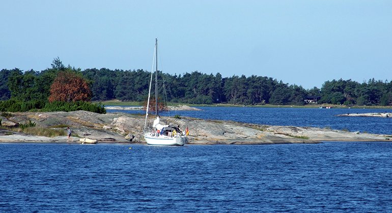
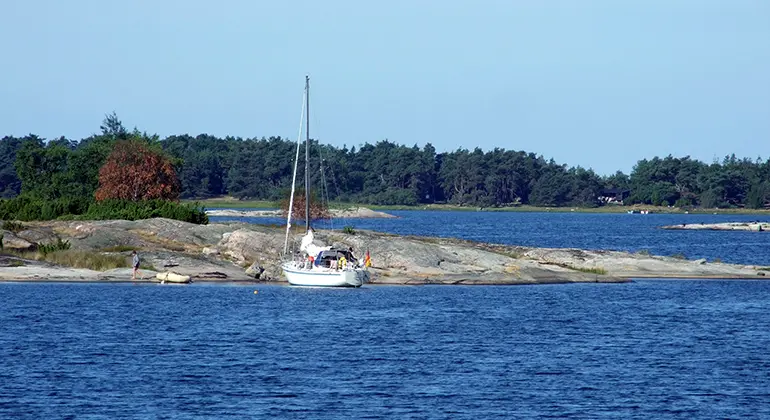
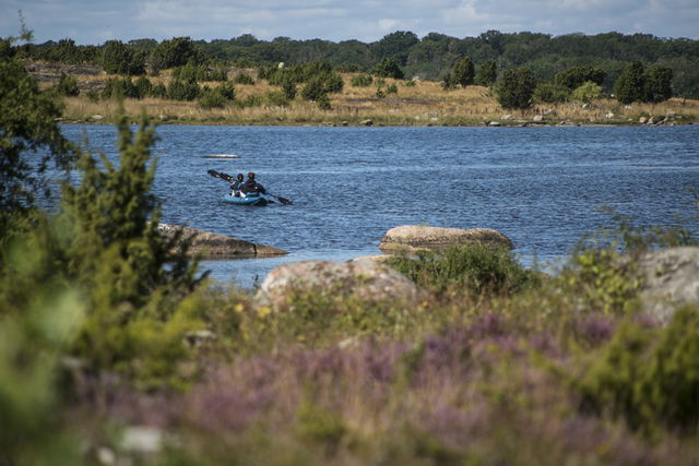
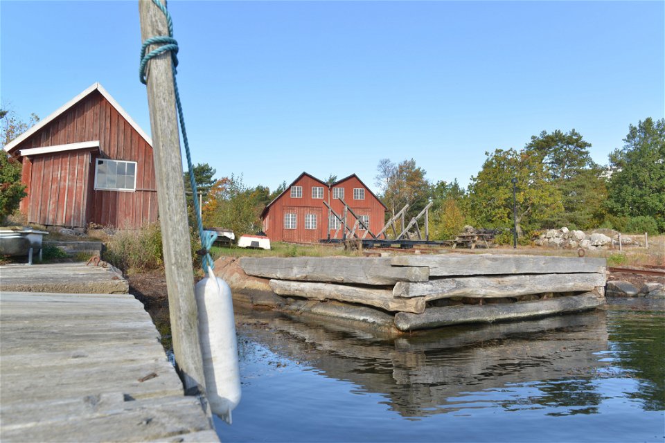
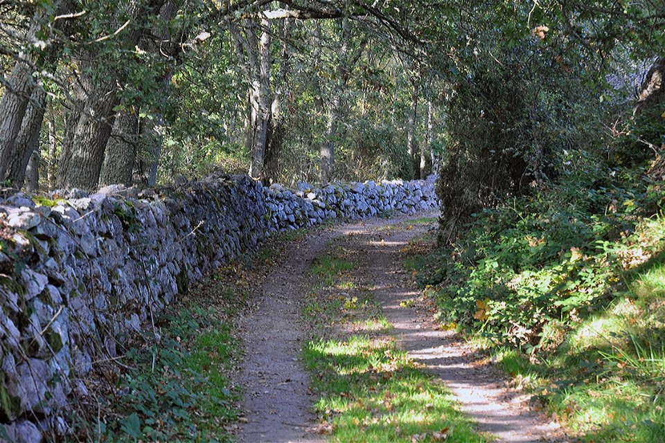
The Hästholmen-Ytterön nature reserve is a historically valuable archipelago environment. The islands mainly comprise flat bare rock, juniper heaths and coastal meadows.
Much of the nature reserve is sea, and for centuries mankind has shaped the small-scale agricultural landscape on the islands. The coastal meadows and the heaths were grazed by cows while pigs gorged themselves fat on acorns in the oak woodland. The low-lying meadows were cut for winter feed for the animals and arable land was farmed.
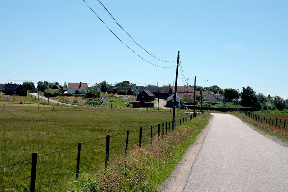
When the population grew in the nineteenth century, the landscape changed radically. The forest shrunk and the amount of arable land increased. The result was an open landscape, which largely remains to this day. To preserve this valuable historic environment, the land needs to be kept open through grazing, mowing and farming.
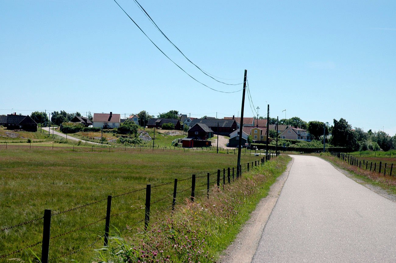
Hästholmen-Ytterön is dominated by flat rock and grassy heaths with plenty of juniper bushes. The long, narrow rift valleys that slice through the landscape are characteristic of the area. The valleys have been farmed throughout history and crops are still grown on some fields today.
A wide area of coastal meadows spreads out north of the village of Hästholmen. These coastal meadows were formerly sea inlets and salt-tolerant plants, including species such as blackgrass, salt grass, sea milkwort, thrift and sea arrowgrass grow along the water’s edge.
The rules for the nature reserve are shown in the link below, but, for example, dogs must be kept on a lead and you are not allowed to park a caravan or pitch a tent for more than 48 hours, light a fire other than in a place designated for the purpose or park other than in places indicated.
Source: County Administrative Board
Natuurgebied
Year of protection: 1975. Updated decision and management plan from December 2024 is under appeal. C regulations apply as above.
Municipality: Karlskrona
Character: Small-scale agricultural landscape in archipelago environment, pasture on islands, cliffs, beach meadows, marine environment
Area: 1152 hectares, of which 392 hectares are land and 760 hectares water
Landowner: Private
Manager: Blekinge County Administrative Board
Type of protection: Nature reserve and Natura 2000
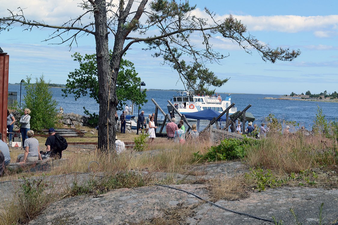
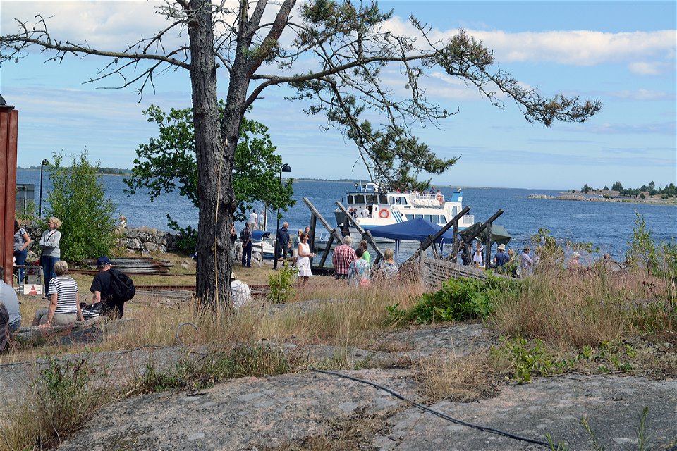
Leave the E22 at Jämjö, going towards Torhamn, and follow the signs to Yttre Park. A cable ferry runs from here. The archipelago boat from Karlskrona is an alternative option in the summer.
You are welcome to visit Hästholmen-Ytterön, but please note that it is not allowed to:
Furthermore, it is forbidden to hunt without the permission of the County Administrative Board:
Länsstyrelsen Blekinge
![]()
Houd er rekening mee dat sommige teksten automatisch zijn vertaald.
Stel een vraag aan andere Naturkartan gebruikers.
Inom Biosfärområde Blekinge Arkipelag hittar du 47 naturreservat som alla erbjuder olika, men lika fantastiska…

