Led Öjenäsbäcken
Wandern
- Landkreis: Värmlands län
- 6731.95 km von Ihnen entfernt
Details zum Weg
- Länge 4.2 km
- Schwierigkeit Rot - anspruchsvoll
Aktionen
Beschreibung
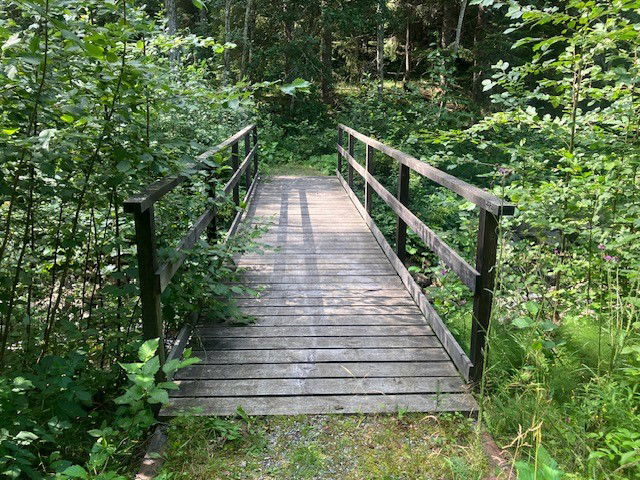
On the east side of the creek, the trail goes along an old carriage way (gravel surface) and is a fairly easy walk.
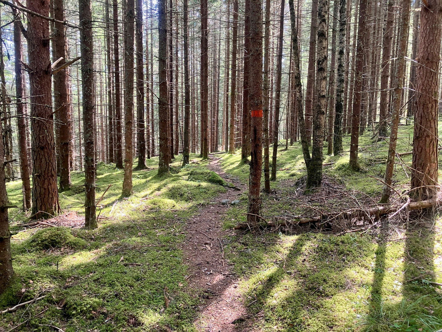
On the west side the trail follows a path through pine forest, which is more demanding as the terrain is hilly, winding and slopes down towards the creek.
The trail is marked with orange colour on trees.
Aktivitäten und Einrichtungen
-
Wandern
-
Rundslinga
Kontakt
E-Mail-Adresse
Maila Länsstyrelsen Värmland
Logotyp der Organisation

Bitte beachten Sie, dass einige dieser Texte automatisch übersetzt worden sind.
Fragen & Antworten
Stellen Sie eine Frage an andere Naturkartan-Nutzer.


