Led Öjenäsbäcken
Vaellusreitit
- Kunta: Värmlands län
- 6731.95 km päässä sinusta
Polun yksityiskohdat
- Pituus 4.2 km
- Vaikeuksia Punainen - vaativa
Toiminnot
Kuvaus
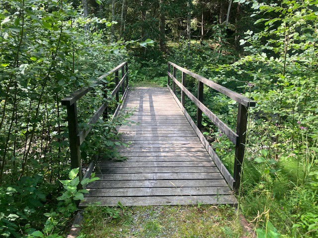
On the east side of the creek, the trail goes along an old carriage way (gravel surface) and is a fairly easy walk.
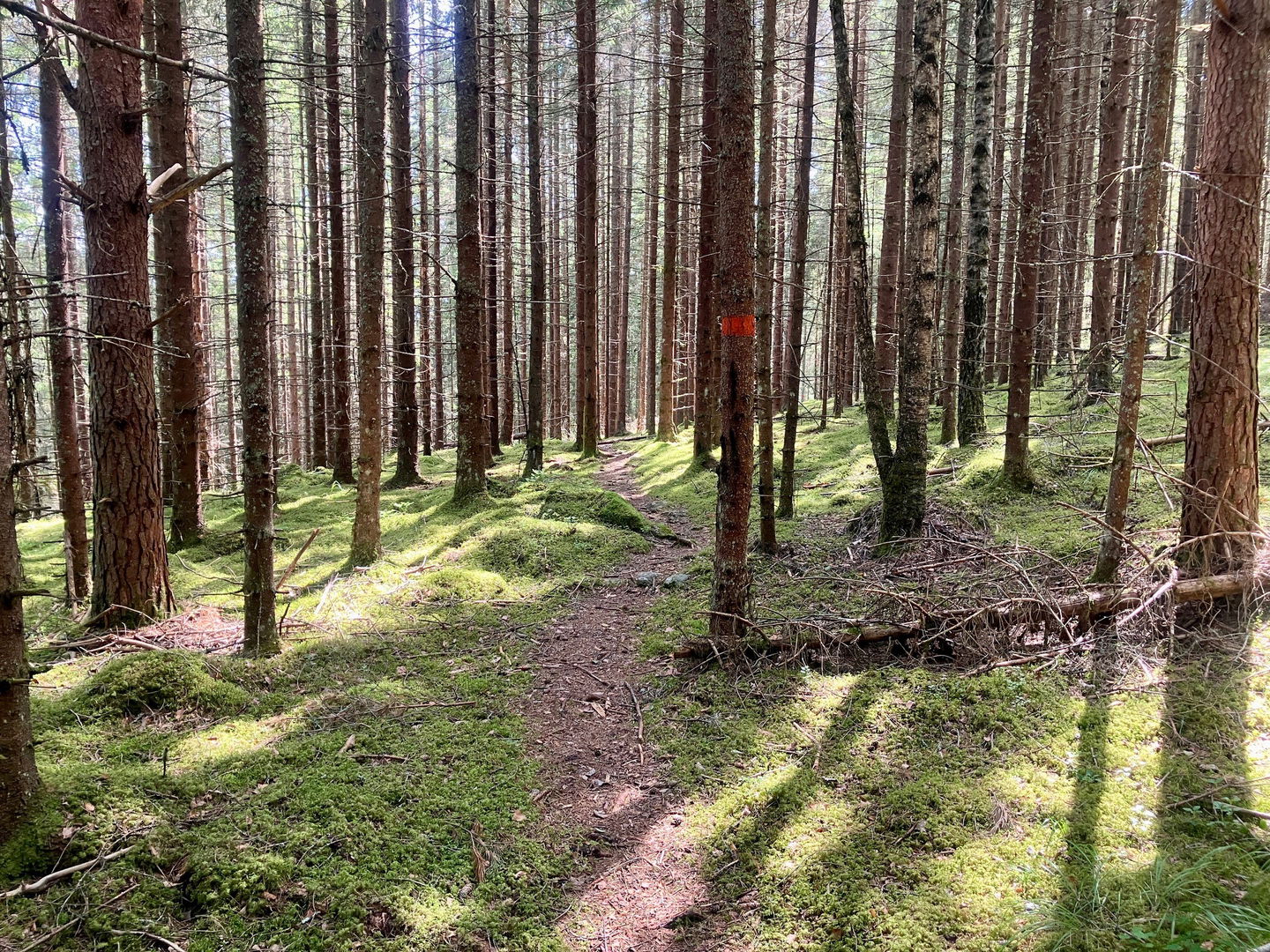
On the west side the trail follows a path through pine forest, which is more demanding as the terrain is hilly, winding and slopes down towards the creek.
The trail is marked with orange colour on trees.
Toimintaa ja tilat
-
Vaellusreitit
-
Pyörösilmukka
Ota yhteyttä
Sähköpostiosoite
Maila Länsstyrelsen Värmland
Organisaation logotyyppi

Huomaa, että osa näistä teksteistä on käännetty automaattisesti.
Kysymykset & vastaukset (Q&A)
Esitä kysymys muille Naturkartan-käyttäjille.


