Led Öjenäsbäcken
Hiking
- Regio: Värmlands län
- 6537.09 km van u vandaan
Pad details
- Lengte 4.2 km
- Moeilijkheidsgraad Rood - veeleisend
Acties
Omschrijving
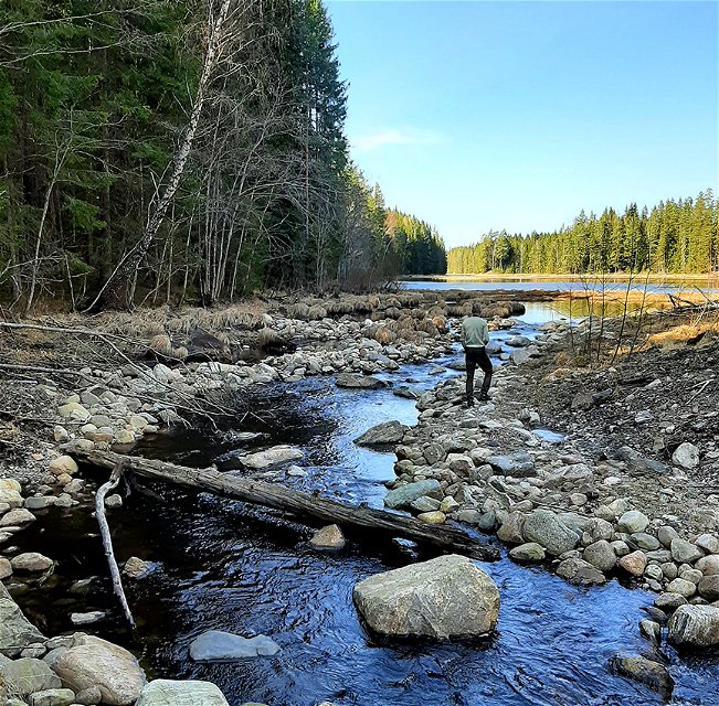
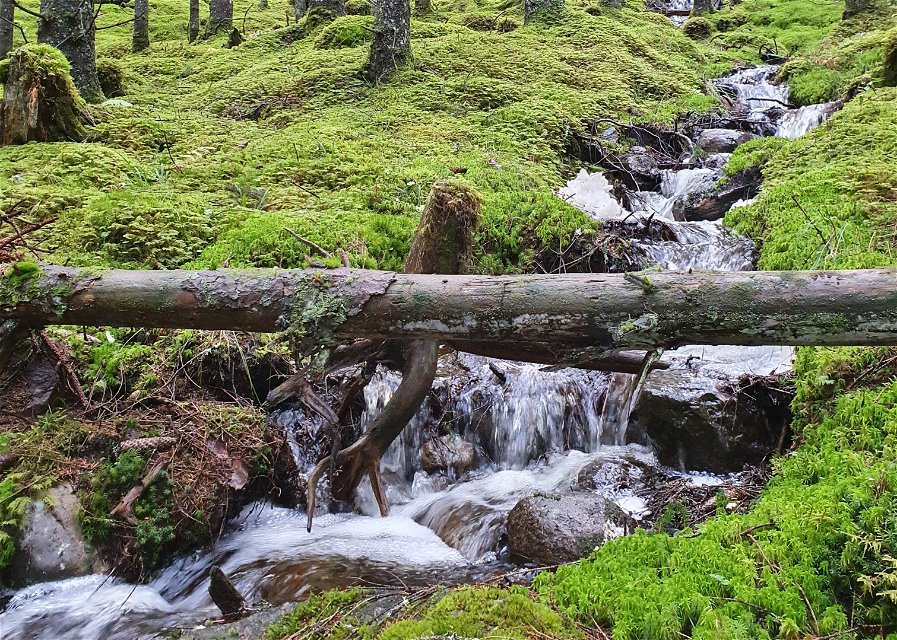
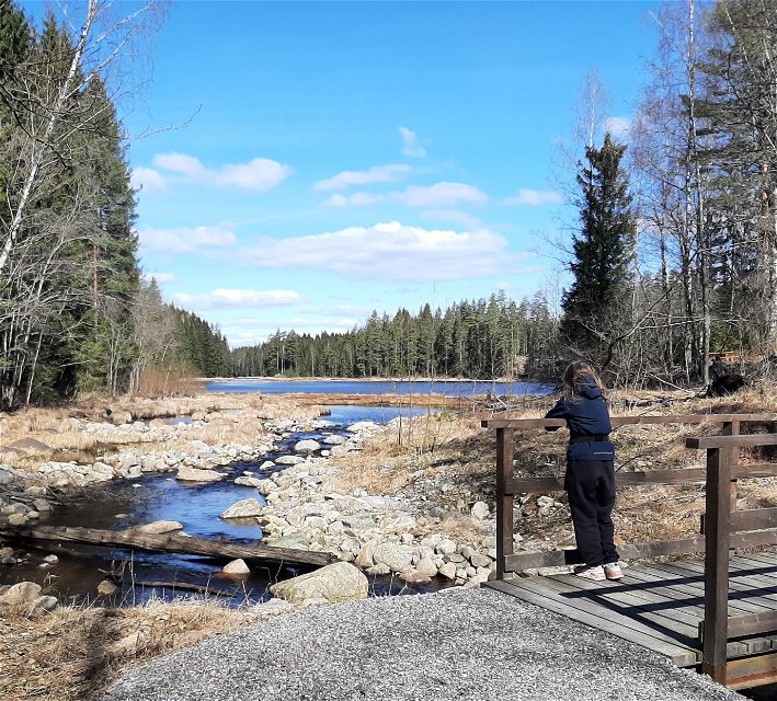
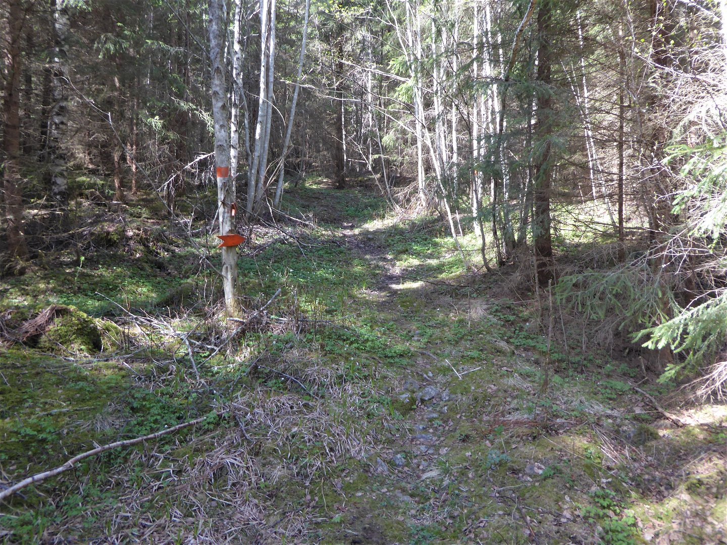
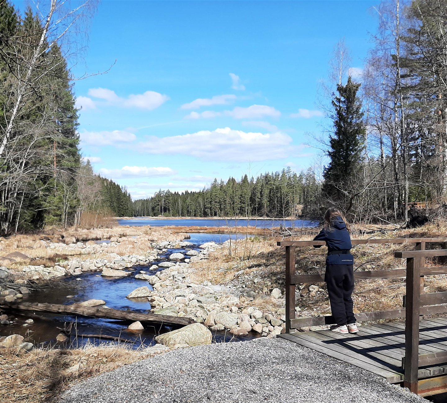
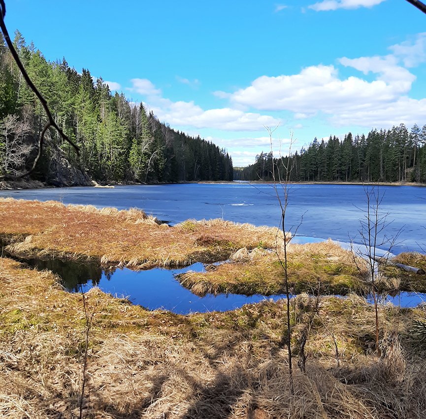
On the east side of the creek, the trail goes along an old carriage way (gravel surface) and is a fairly easy walk.
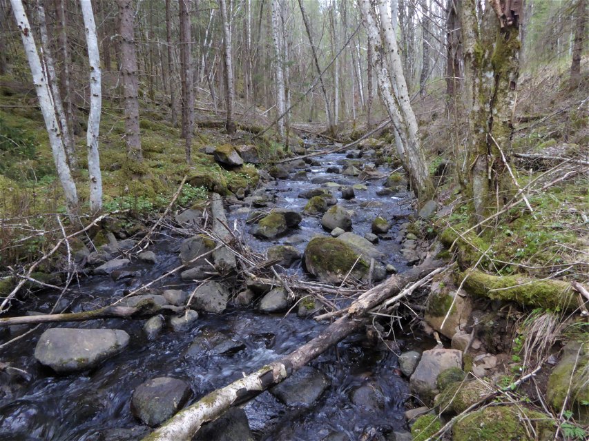
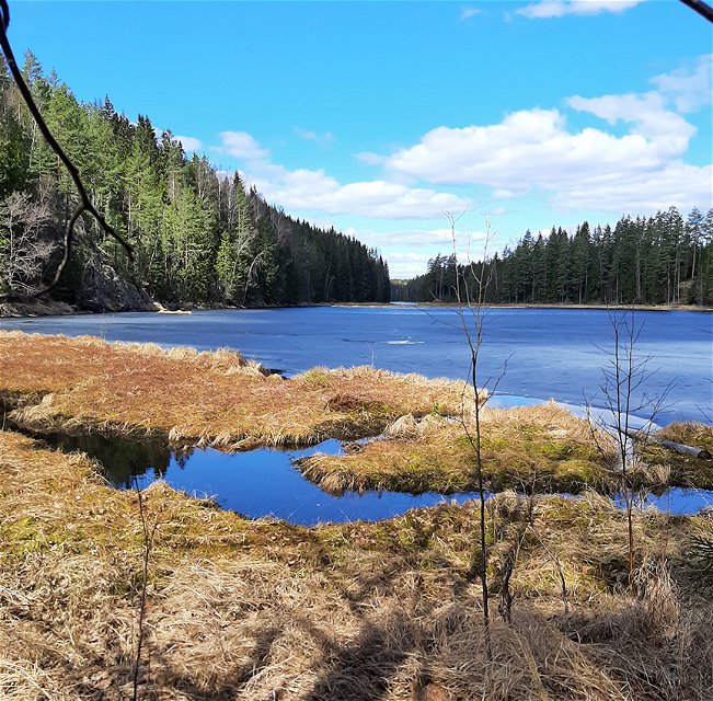
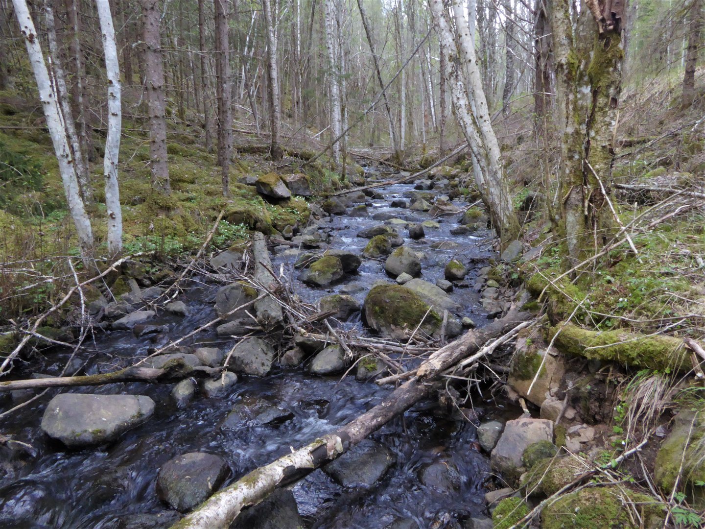
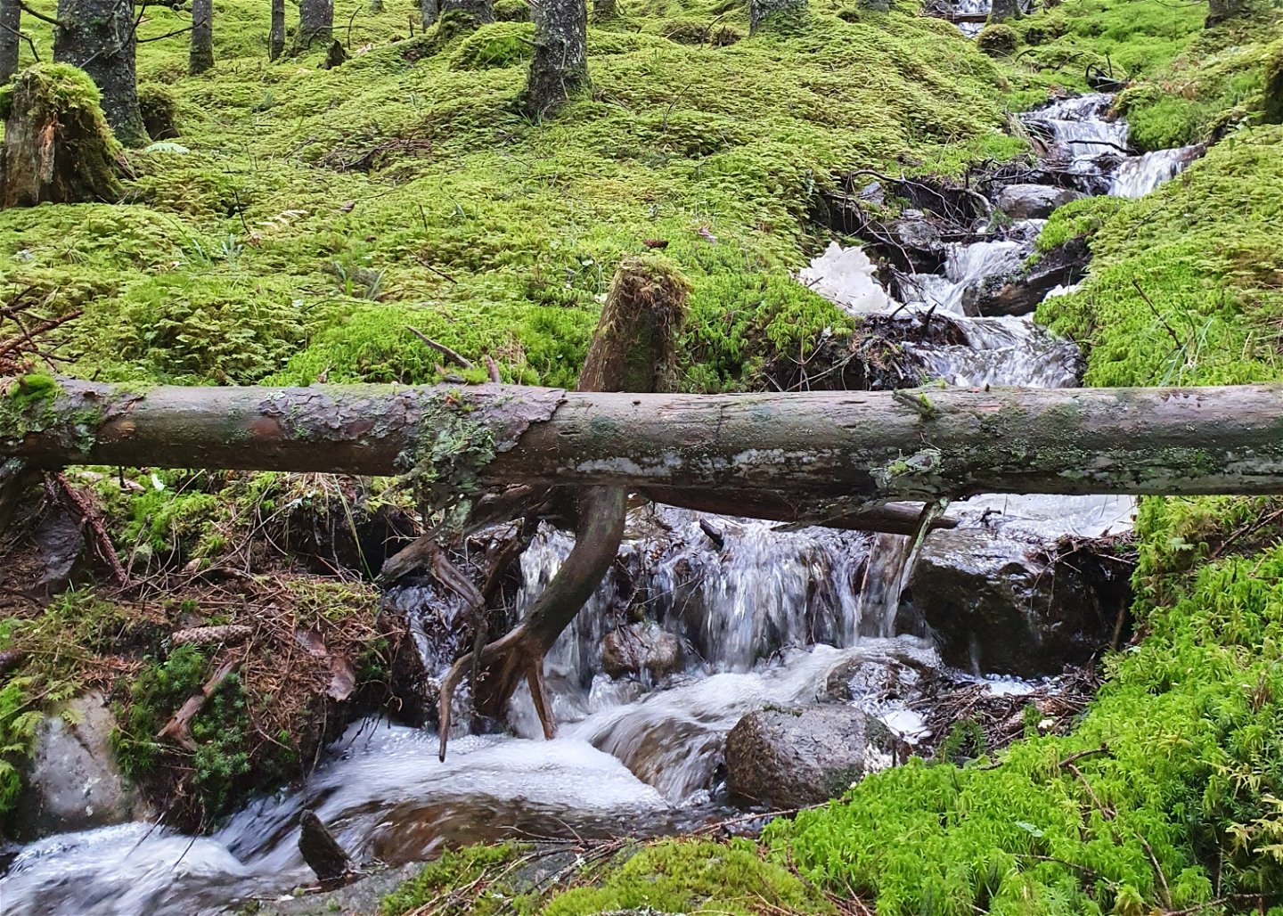
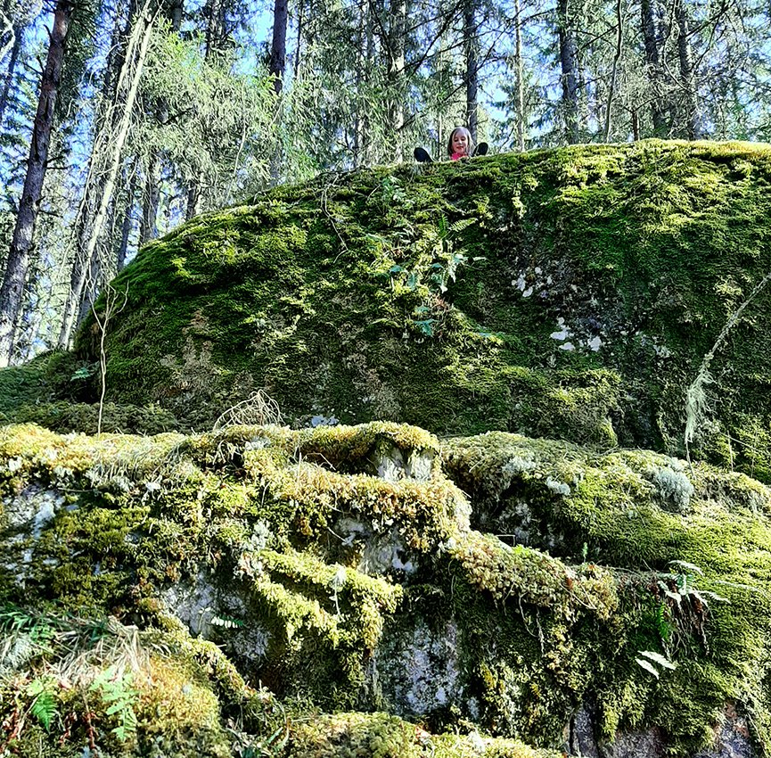
On the west side the trail follows a path through pine forest, which is more demanding as the terrain is hilly, winding and slopes down towards the creek.
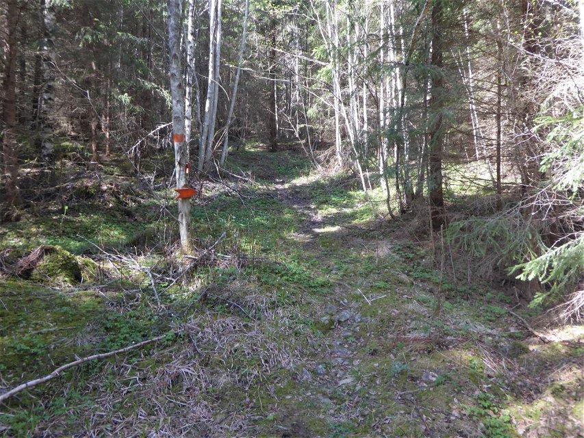
The trail is marked with orange colour on trees.
Activiteiten en faciliteiten
-
Hiking
-
Rond pad
Contact
E-mailadres
Maila Länsstyrelsen Värmland
Organisatie-logotype

Houd er rekening mee dat sommige teksten automatisch zijn vertaald.
Vragen en antwoorden
Stel een vraag aan andere Naturkartan gebruikers.

