Öjenäsbäcken
Hiking
- County: Värmlands län
- 6537.09 km away from you
Trail details
- Length 4.2 km
- Difficulty Red - demanding
Actions
Description
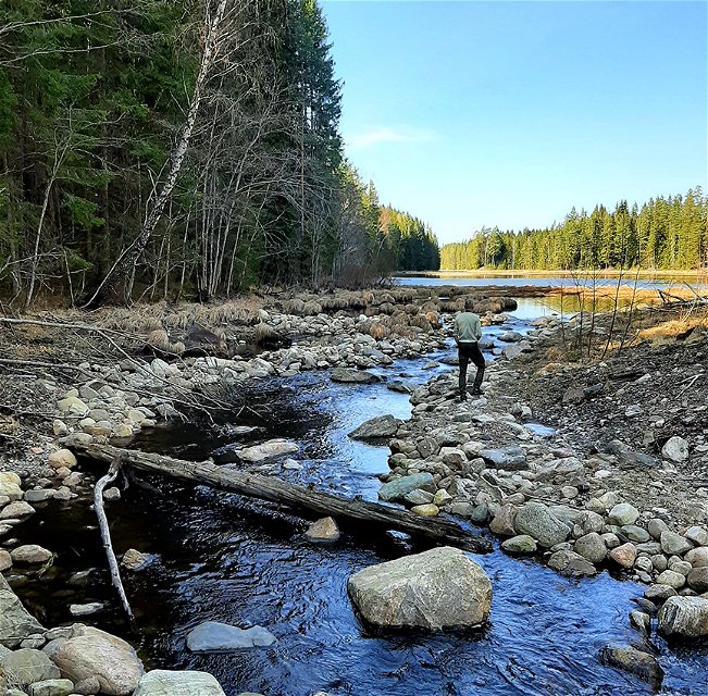
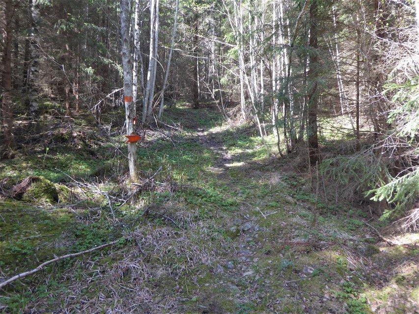
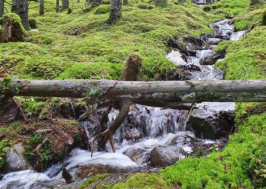
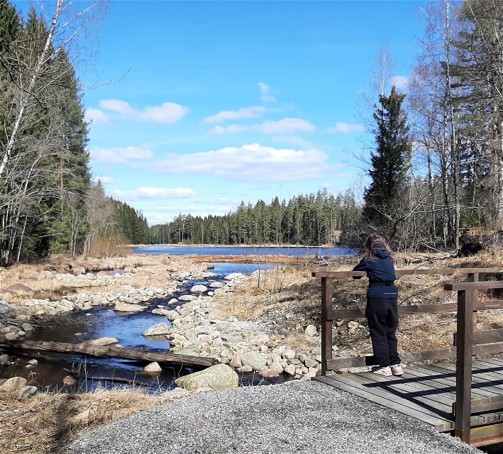
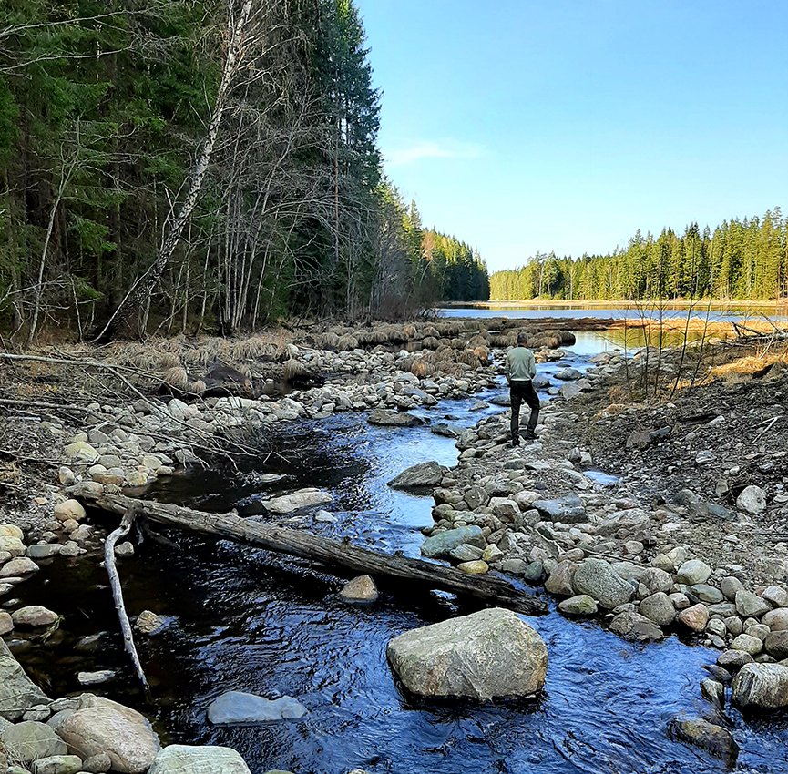
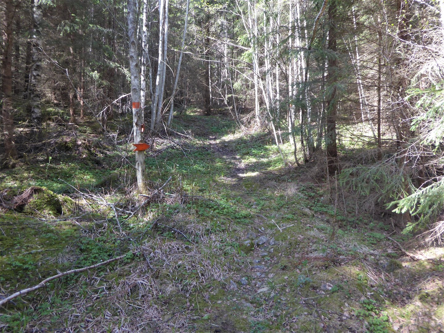
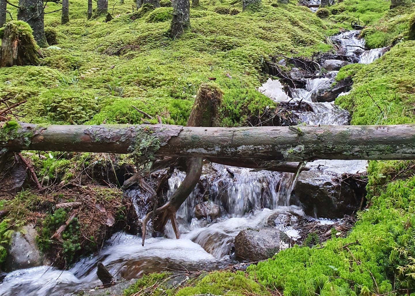
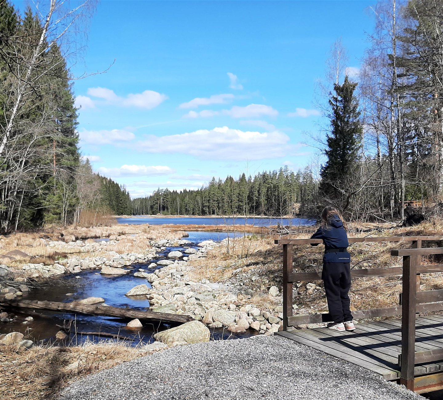
On the east side of the creek, the trail goes along an old carriage way (gravel surface) and is a fairly easy walk.
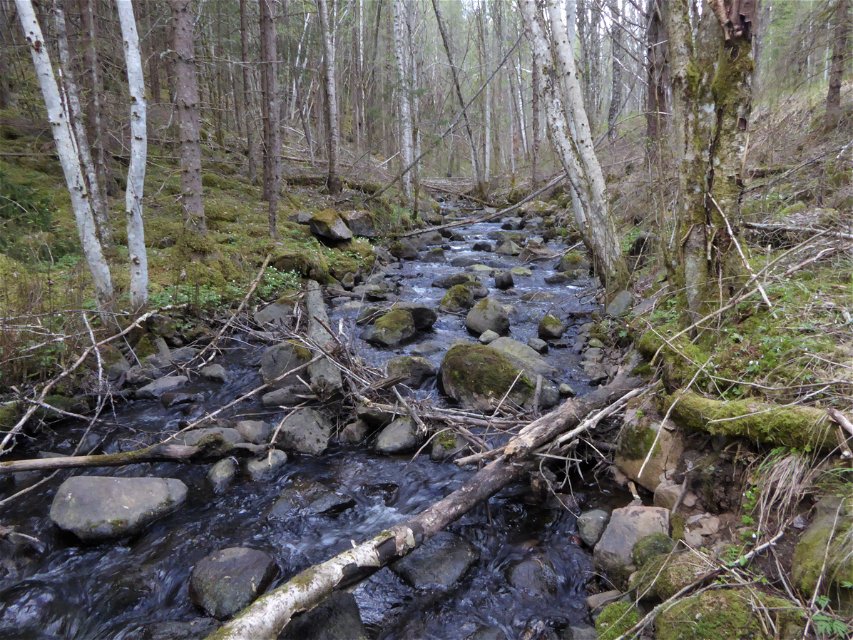
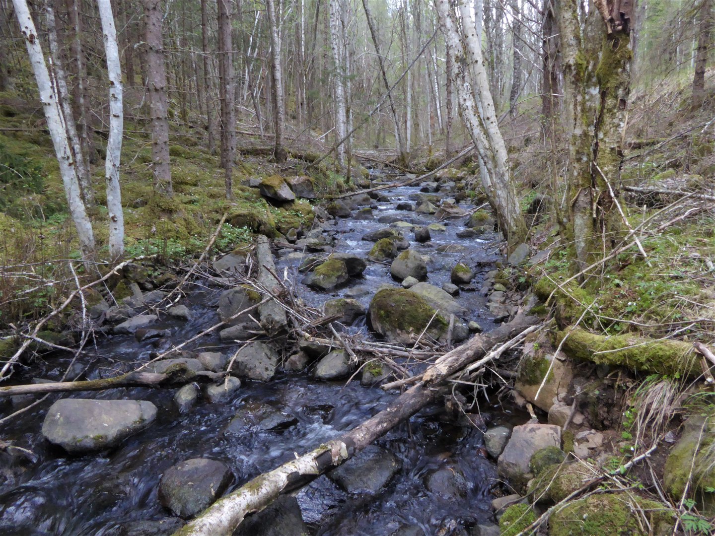
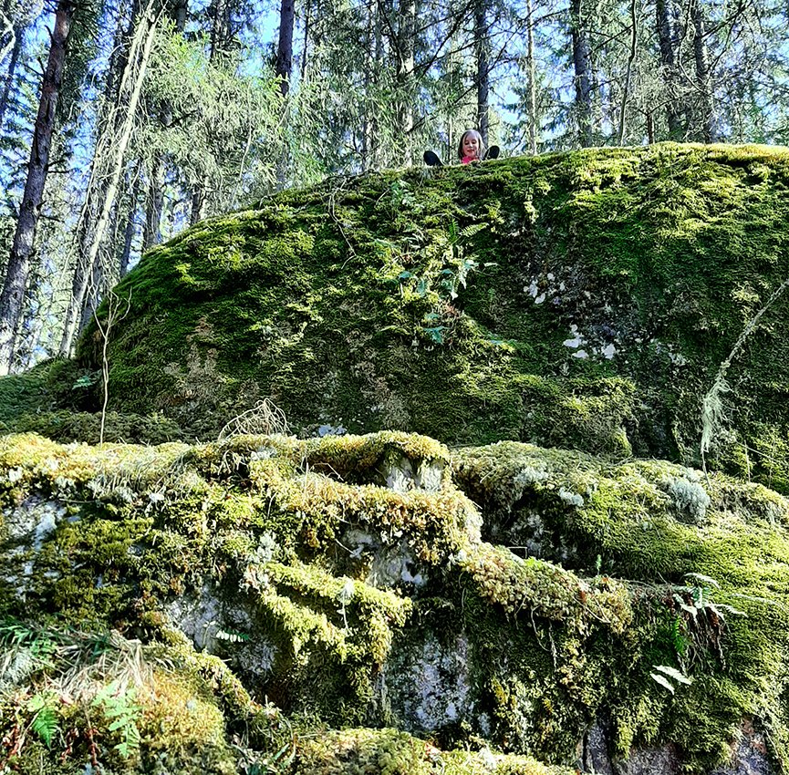
On the west side the trail follows a path through pine forest, which is more demanding as the terrain is hilly, winding and slopes down towards the creek.
The trail is marked with orange colour on trees.
Activities And Facilities
-
Hiking
-
Circular trail
Downloads
Contact
Email address
Maila Länsstyrelsen Värmland
Organization logotype

Questions & Answers
Ask a question to other Naturkartan users.

