Led Öjenäsbäcken
Wędrówki piesze
- Województwo: Värmlands län
- 6731.95 km od Ciebie
Szczegóły dotyczące szlaku
- Długość 4.2 km
- Trudność Czerwony - wymagający
Akcje
Opis
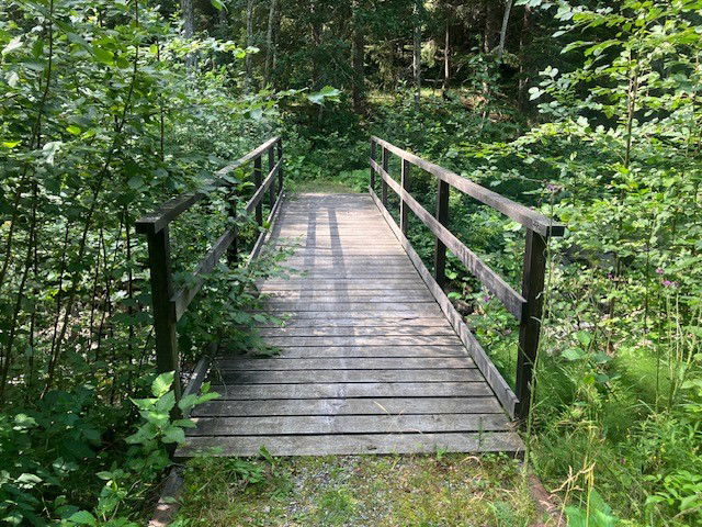
On the east side of the creek, the trail goes along an old carriage way (gravel surface) and is a fairly easy walk.
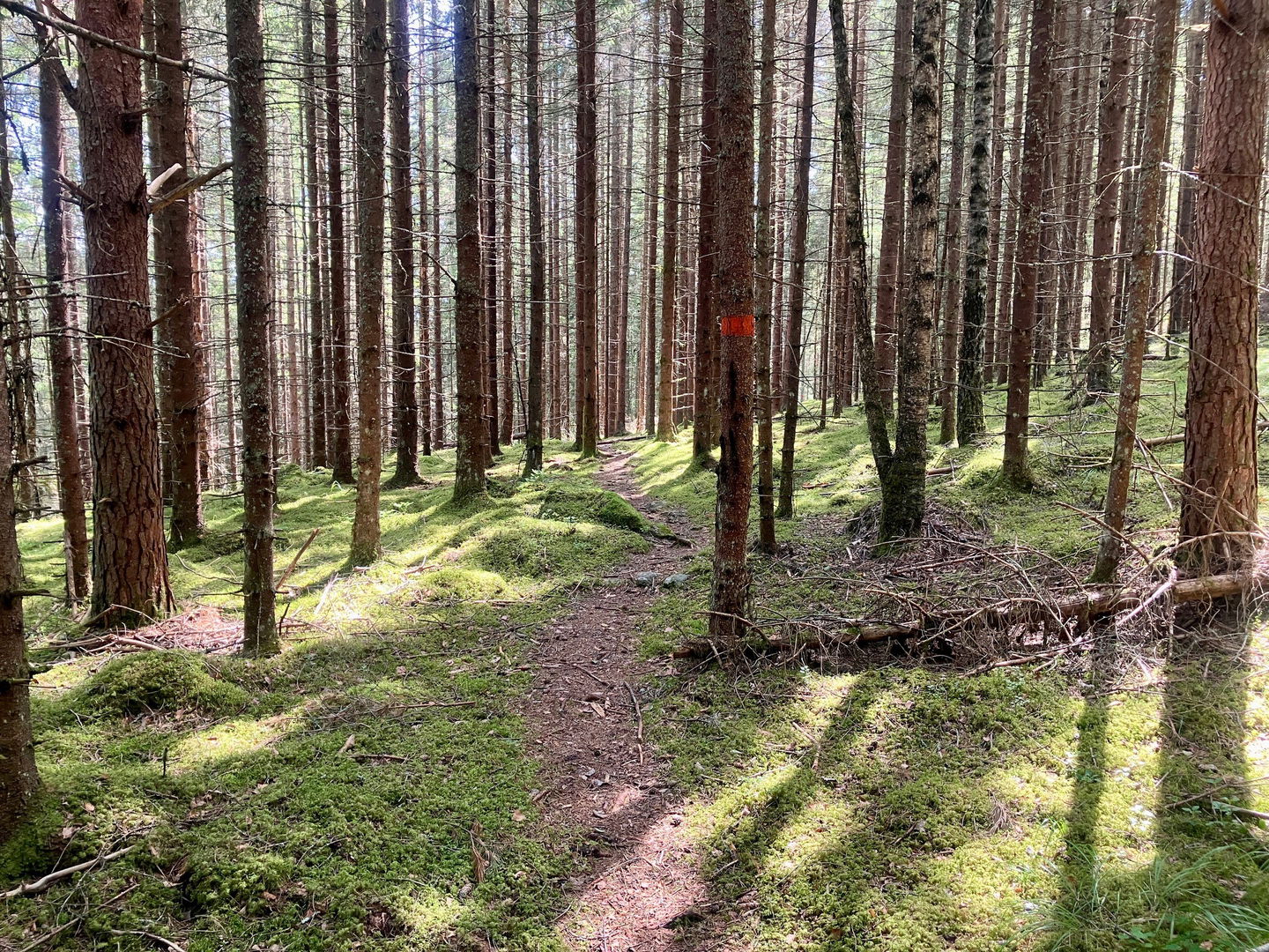
On the west side the trail follows a path through pine forest, which is more demanding as the terrain is hilly, winding and slopes down towards the creek.
The trail is marked with orange colour on trees.
Działania i udogodnienia
-
Wędrówki piesze
-
Rundslinga
Kontakt
Adres e-mail
Maila Länsstyrelsen Värmland
Logotyp organizacji

Należy pamiętać, że niektóre z tych tekstów zostały przetłumaczone automatycznie.
Pytania i Odpowiedzi
Zadaj pytanie innym użytkownikom Naturkartan.


